
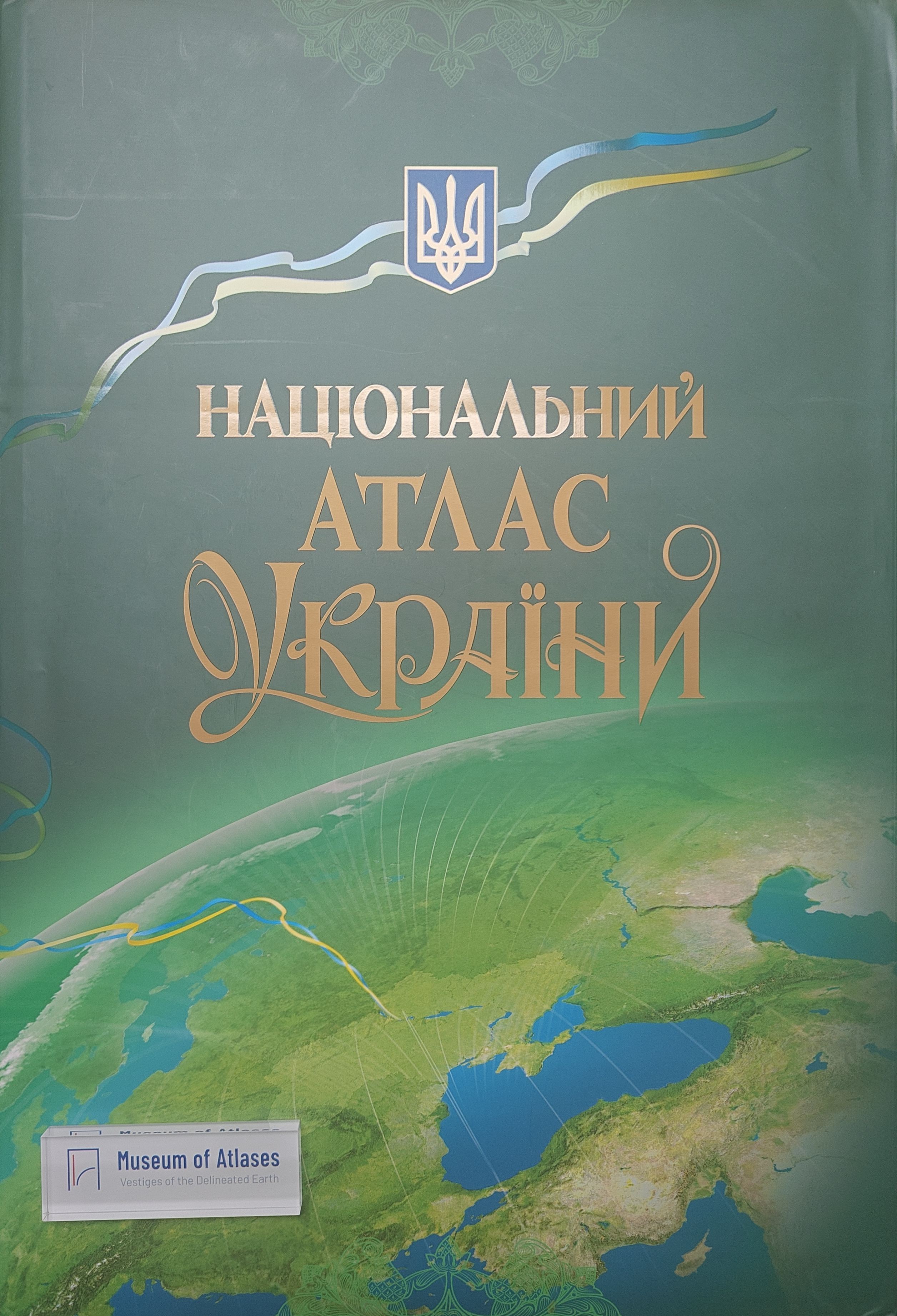
National atlas of Ukraine: creation and development of its concept
- Publication
- Atlases in Time: ICA Joint Commission Conference
- Pages
- 8
Summary
In 2007, with the support of the state, scientists of Ukraine implemented their work on the creation of the first National Atlas of Ukraine. The main leitmotif was the combination of methods of classical cartography with modern technologies of its preparation for publication in paper and electronic form. The concept of creating the Atlas was developed at the Institute of Geography of the NAS of Ukraine (IG NASU) and implemented through a special Decree of the President of Ukraine. New knowledge about nature, society and economy of Ukraine in the Atlas is reflected in six thematic blocks: General description of Ukraine, History, Natural conditions and resources, Population, Economy, Ecological state of the environment. The 440 pages of the publication contain 875 maps and a significant amount of information products (text to Atlas blocks, graphics, tables, photos). The systematic of mapping is ensured in the cartographic images of interrelated objects, in particular in the geometric correspondence of certain of its graphic elements and, accordingly, in the elements of legends (explanatory signatures) of the agreed maps. The basis of systematic display of content and certain details of information is provided by standard base maps with fixed scales. In preparation for the plans to create the National Atlas of Ukraine, in 2000 its pilot electronic version was developed in cooperation with “Intelligence systems-GEO” LLC. This pilot version of the Atlas was published on CD in Ukrainian and English under the name “Atlas of Ukraine” with a circulation of 1500 copies and is widely distributed not only in Ukraine but also abroad.
Comments
Loading...
0/2000