
National Atlas of the United States of America, The
- Publication
- The History of Cartography, Volume 6: Cartography in the Twentieth Century
- Volume
- 6
- Pages
- 993–994
Summary
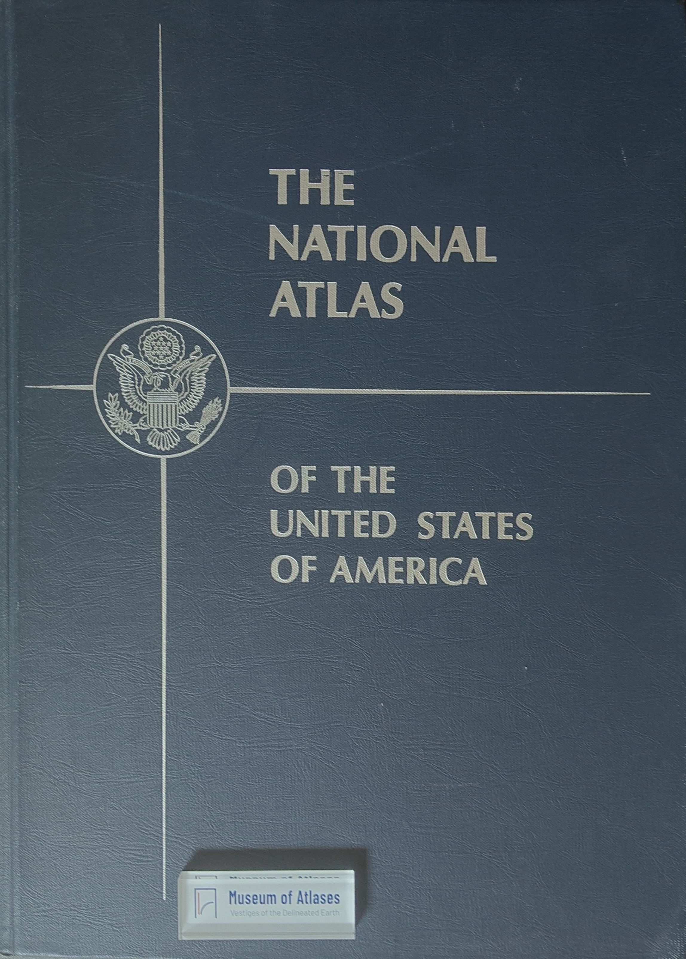
The National Atlas of the United States of America, published in January 1970, was a traditional hardbound collection of maps depicting the nation's social, economic, and physical conditions in the mid-1960s. Despite eight years of preparation and positive critical reception, it sold poorly, a second edition was never approved, and the program was sharply curtailed until its 1997 reauthorization as digital cartographic products and services delivered via the Internet. This article traces the atlas's history from postwar advocacy, prototype design, and interagency coordination to its final publication and commercial failure, analyzing the discrepancy between production scale, costs, and market expectations. Its lasting significance lies in laying groundwork for subsequent national digital geographic information initiatives.
Related Atlases
Comments
Loading...
0/2000