
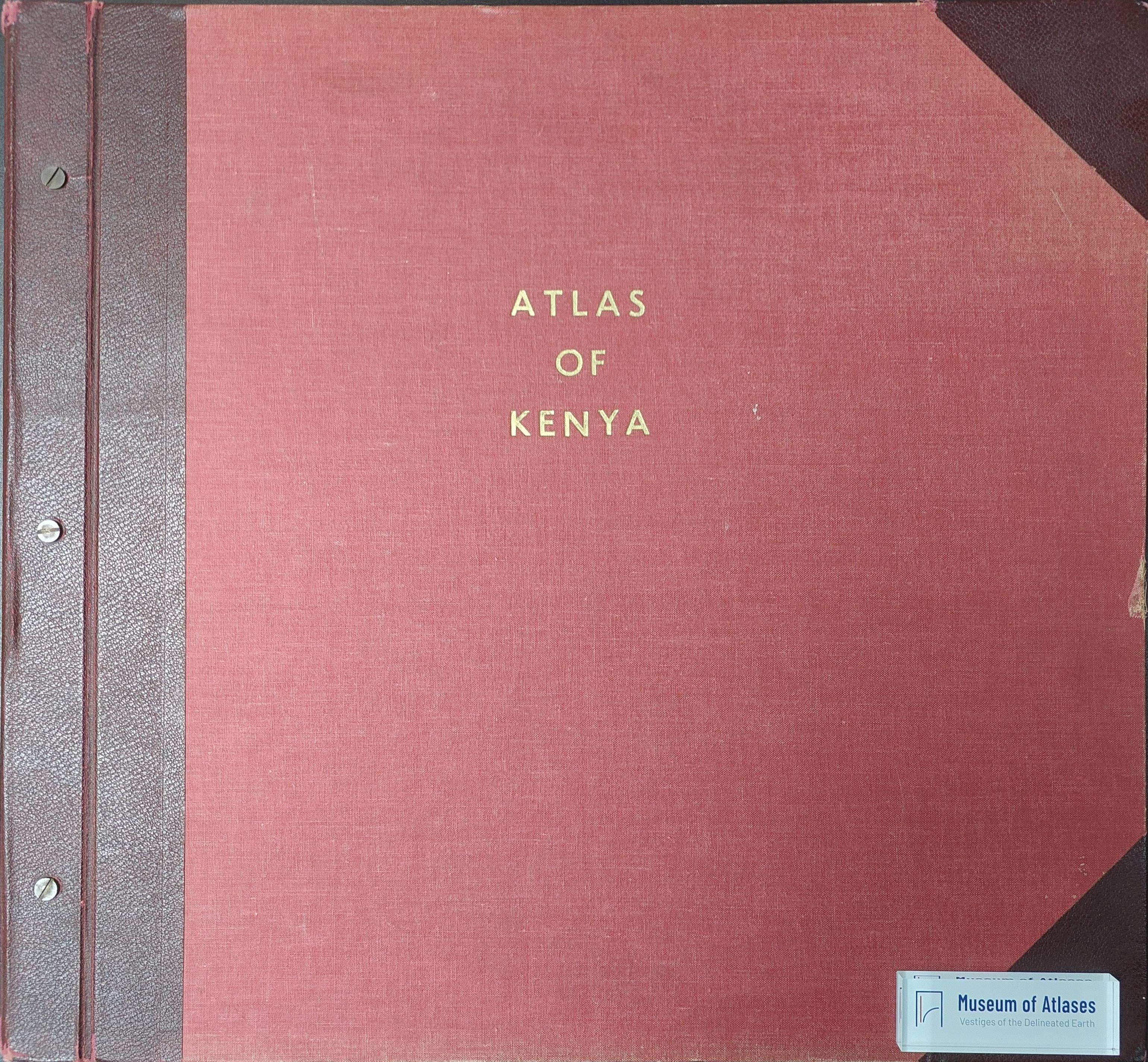
Maps, atlases and cartographic literature: Atlas of Kenya
Mapy, atlasy a Kartografická literatura: Atlas of Kenya
- Publication
- Sborník Československé společnosti zeměpisné
- Volume
- 77
- Issue
- 3
- Pages
- 302-303
Summary
This review evaluates the second edition of the Atlas of Kenya, published by the Survey of Kenya in 1962. Its loose-leaf design permits revised or supplementary maps to be inserted, enabling comparisons over time, notably of population and administrative divisions. The atlas combines national thematic maps with larger-scale relief, district, urban-area, and city maps. Its coverage encompasses physical geography, climate, disease, resources, agriculture, infrastructure, public services, ethnography, historical exploration, and early cartography. Representation relies mainly on area shading, symbols, and absolute dot mapping rather than cartograms or diagram maps. Although some design flaws from the first edition remain, the reviewer considers the atlas clear, technically sound, and geographically valuable. It constitutes a comprehensive information source on Kenya and illustrates the thematic priorities and cartographic capacities of a newly developing country.
Related Atlases
Comments
Loading...
0/2000