
Maps and atlases: Atlas of Finland
Mapy a Atlasy: Suomen Kartasto
- Publication
- Sborník Československé společnosti zeměpisné
- Volume
- 69
- Issue
- 2
- Pages
- 150-151
Summary
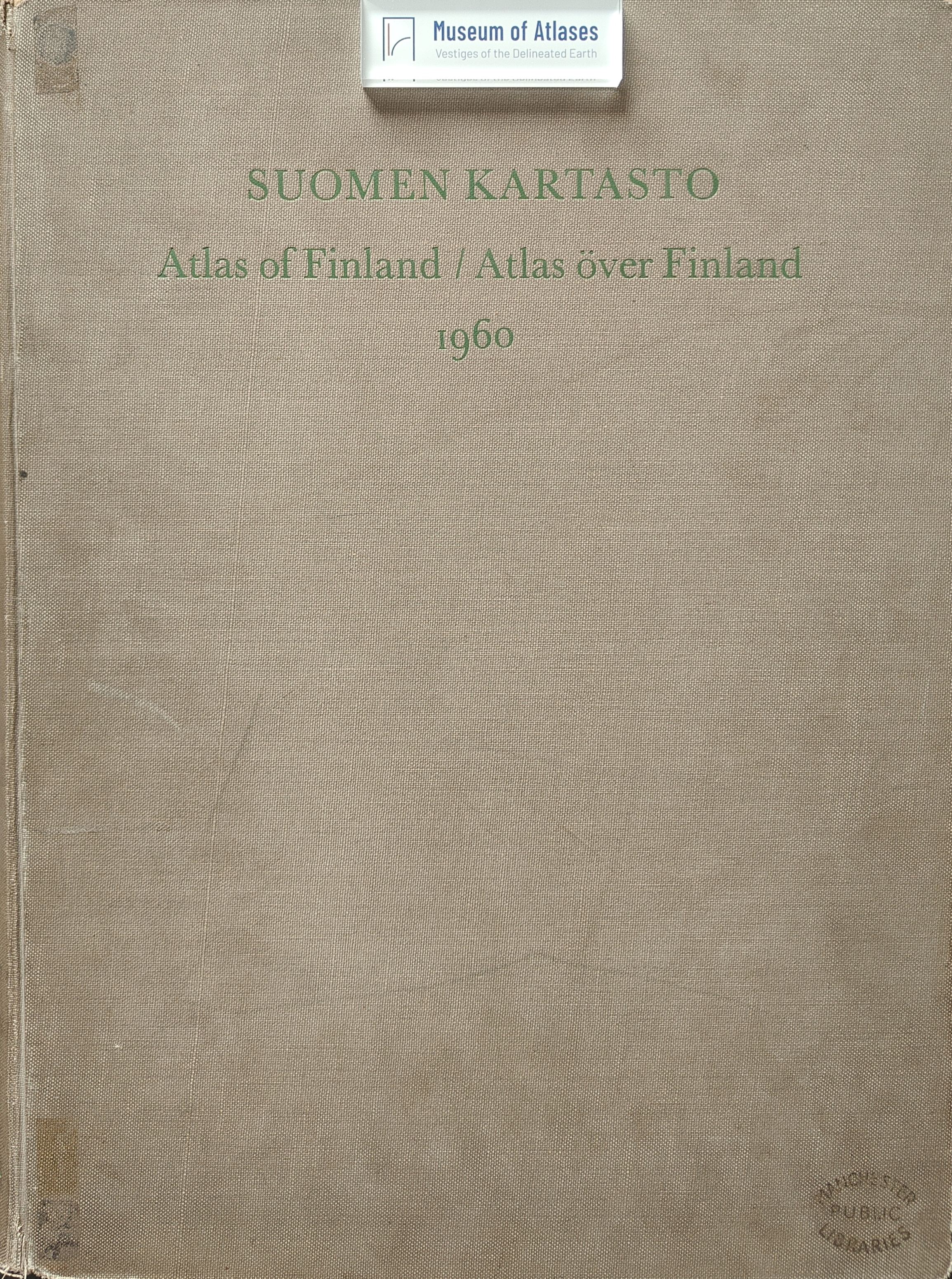
This review assesses the fourth edition of Suomen Kartasto (Atlas of Finland), published in 1960 with 39 sheets and 416 maps. The atlas systematically covers the natural environment, population, agriculture and forestry, industry, transport, commerce, education, health, and geographical regionalization. Its cartographic approach combines continuously scaled proportional symbols, choropleth maps based on roughly 500 municipalities, and supplementary developmental or structural diagrams. Particularly original features include detailed marine maps, analyses of shifting northern limits of crop cultivation, and multiple schemes of geographical division. The reviewer praises the atlas’s clear thematic emphasis, restrained topographic backgrounds, pastel colors, multilingual legends, and excellent printing. However, much demographic and agricultural data dates from 1950 or earlier; harvests, yields, and industrial employment are omitted; some industrial maps are difficult to compare; and no explanatory text is provided. Despite these limitations, the atlas is presented as an exemplary model for smaller countries.
Comments
Loading...
0/2000