
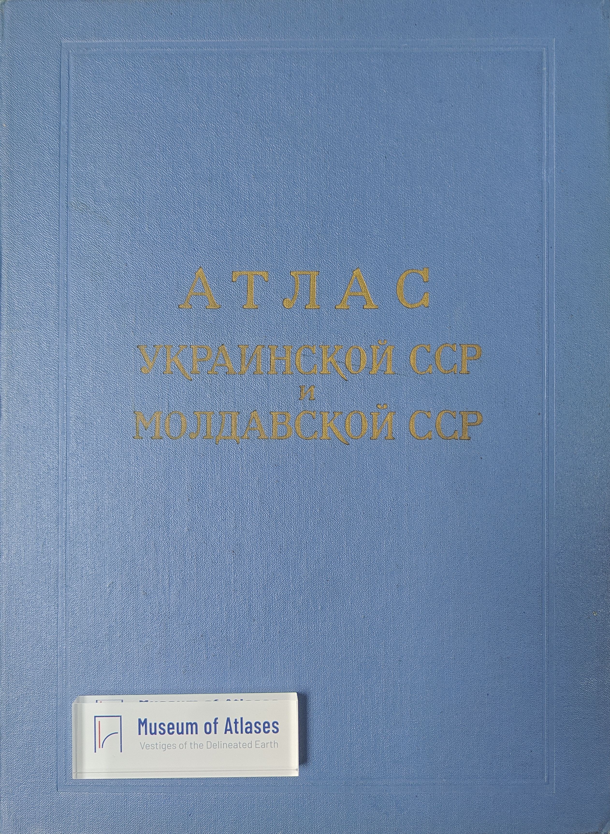
Maps and atlases: Atlas of the Ukrainian SSR and Moldavian SSR
Mapy a Atlasy: Atlas Ukrajinskoj SSR i Moldavskoj SSR
- Publication
- Sborník Československé společnosti zeměpisné
- Volume
- 68
- Issue
- 2
- Pages
- 199
Summary
This review examines the Atlas of the Ukrainian SSR and Moldavian SSR, published in Moscow in 1962. Classified as a medium-sized regional atlas, it contains approximately 130 maps on 90 map pages, using several scales to portray the natural environment, industry, agriculture, and economic administrative regions of both republics. Drawing mainly on statistical data from 1958–1960, its industrial maps emphasize qualitative characteristics rather than detailed quantitative indicators, yet still provide substantial new information. Introductory geographical descriptions, development projections to 1980, and extended commentaries on selected themes supplement the cartography. The reviewer praises the atlas’s scientific collaboration, informational value, and high cartographic quality, emphasizing its relevance to regional geographical research and to the preparation of future national atlases.
Related Atlases
Comments
Loading...
0/2000