
Maps and atlases: Atlas of the Republic of Austria
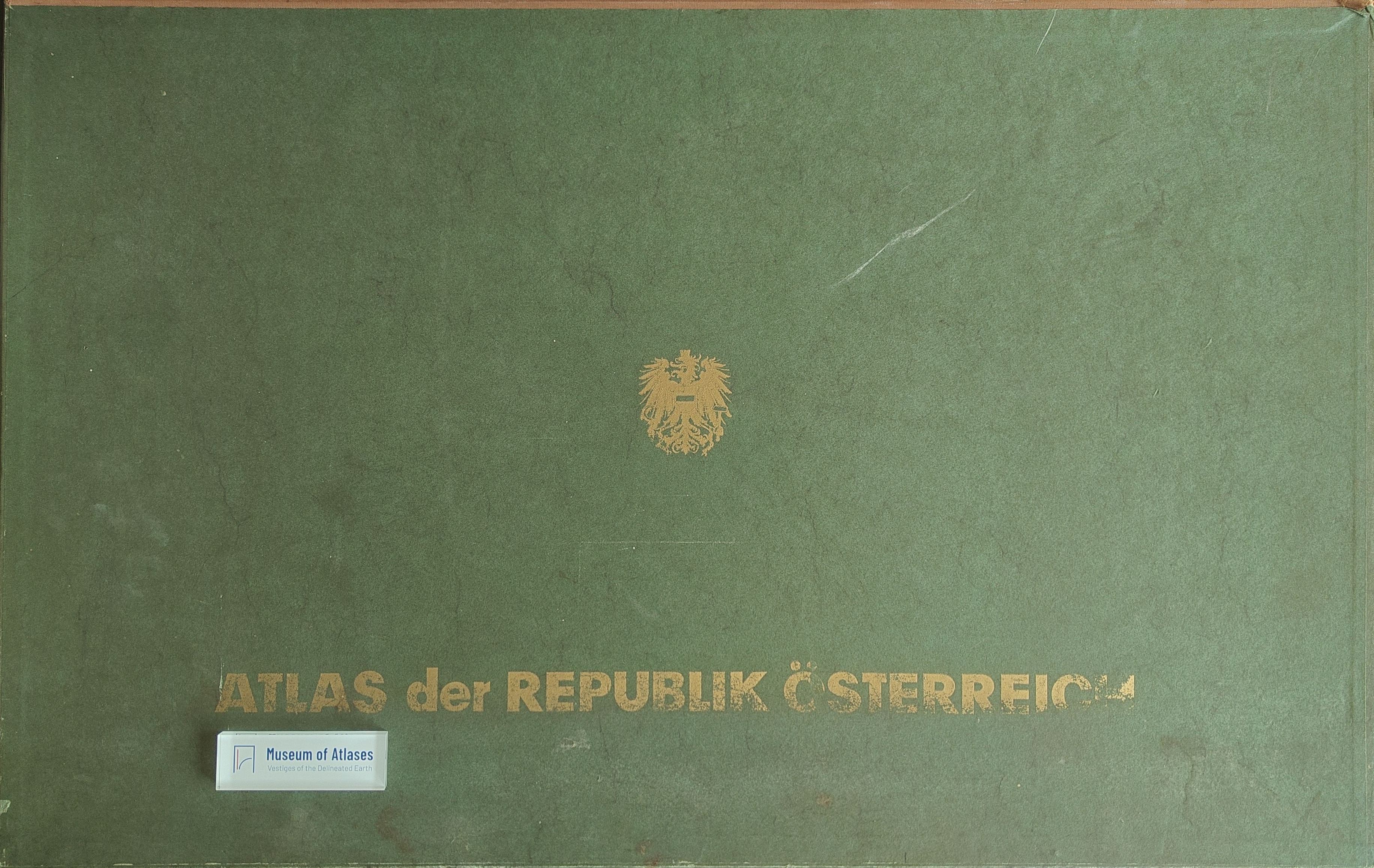
Mapy a Atlasy: Atlas der Republik Österreich
- Publication
- Sborník Československé společnosti zeměpisné
- Volume
- 68
- Issue
- 3
- Pages
- 279
Summary
This review introduces the first installment of the Atlas of the Republic of Austria, published in 1961, and outlines its background, overall design, and thematic scope. Edited by Hans Bobek under the Austrian Academy of Sciences’ Commission for Spatial Research, the national atlas was planned to comprise 115–120 maps issued in annual installments. The first release contains a hypsometric map, four climatic and phenological maps, studies of settlement history, and detailed maps of Vienna’s urban growth, transport, and tourism. It also covers ecclesiastical administration, religious orders and churches, Austria’s administrative divisions, and the 1959 National Council election. The article presents the atlas as a representative synthesis of Austria’s physical environment, historical development, settlement, population, and socioeconomic organization, highlighting its substantial scholarly and cartographic reference value.
Comments
Loading...
0/2000