
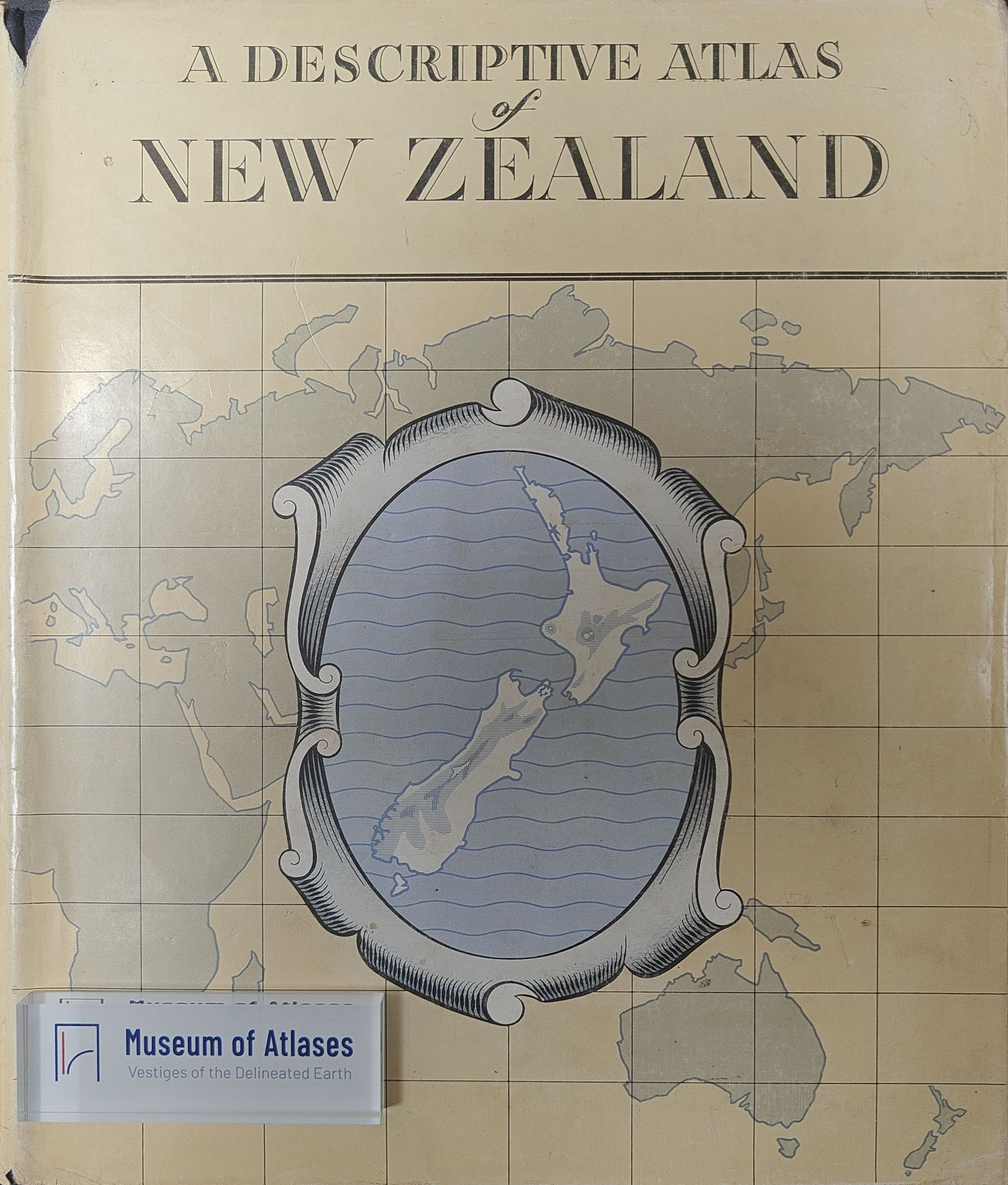
Maps and atlases: A descriptive atlas of New Zealand
Mapy a Atlasy: A Descriptive Atlas of New Zealand
- Publication
- Sborník Československé společnosti zeměpisné
- Volume
- 67
- Issue
- 3
- Pages
- 281-282
Summary
This review examines A Descriptive Atlas of New Zealand, edited by A. H. McLintock (Wellington, 1959). Compiled over nearly five years, this work functions as a small national atlas, covering geography, geology, and history, with governmental patronage and a foreword by the Prime Minister. The text section offers an overview of regional geography of New Zealand and its island territories, including discovery and colonization history, supplemented by numerous monochrome maps—notably those depicting transport frequency (rail, road, air) and Maori population distribution before and after European arrival. The map section opens with a world map using Postel's equidistant azimuthal projection centered on Wellington, with main maps at 1:3,200,000 scale and seven additional maps.
Related Atlases
Comments
Loading...
0/2000