
Compiling the First Generation of New China’s National Grand Atlas: General Atlas Volume
新中国第一代《国家大地图集·普通地图卷》的编纂
- Publication
- 出版史料
- Issue
- 1
- Pages
- 124–126
Summary
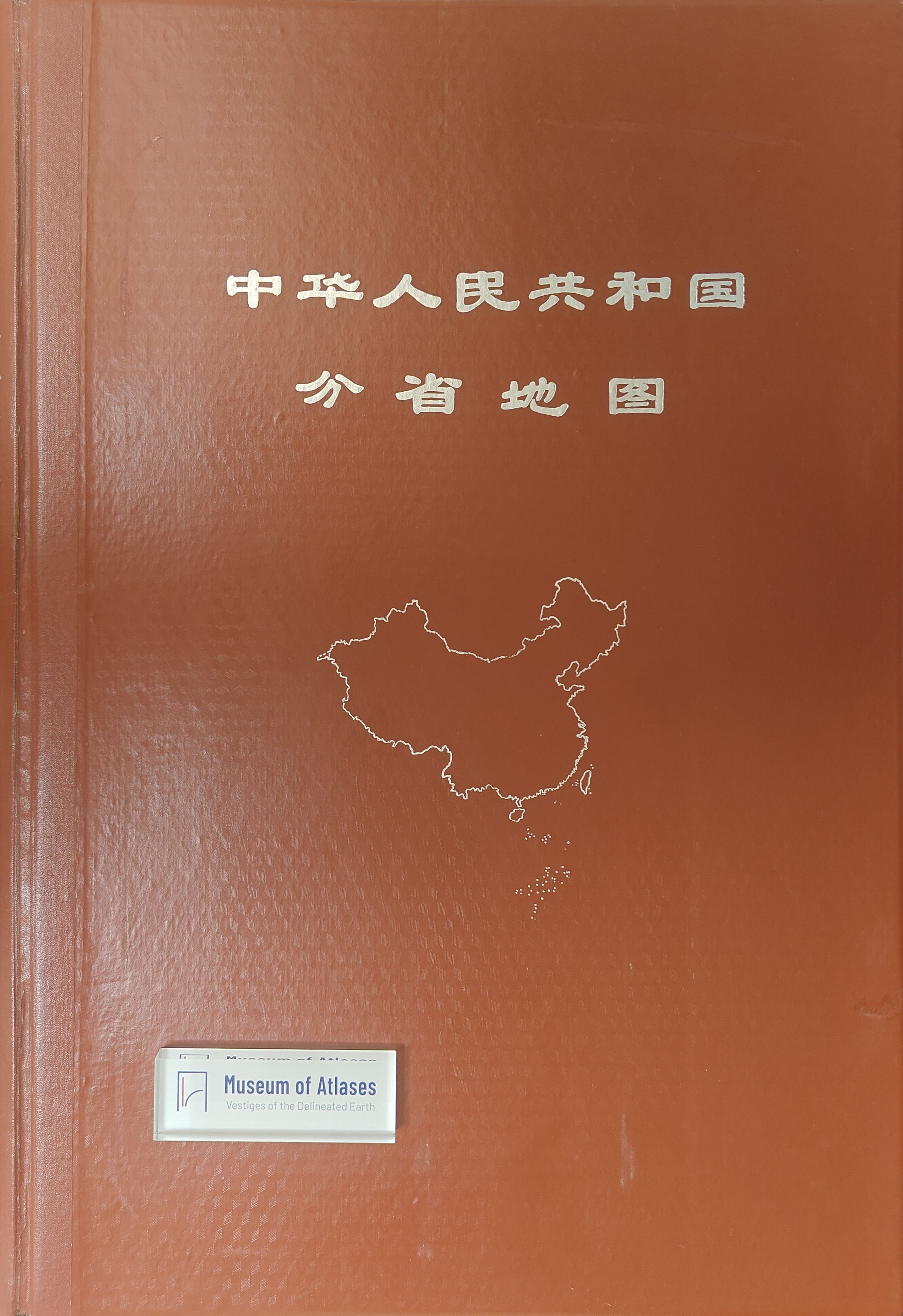
Liu Yinnian and Yang Bairu recount the compilation of the General Atlas volume of China’s first National Grand Atlas, commissioned in 1958 to provide provincial base maps for its other three volumes. They describe nationwide collection of current information in 1959, a method of marking selected features on 1:50,000 surveyed topographic maps and photographically reducing them to produce 1:1,500,000 compilation bases, and staff training, quantitative feature selection and provincial review. Eight years of work produced 27 provincial sheets covering 30 provincial-level jurisdictions. After the Cultural Revolution halted the project, efforts to preserve its results secured publication in 1969 as 《中华人民共和国分省地图》 (Provincial Map of the People’s Republic of China), lacking the planned introductory thematic maps and enlarged regional maps. The authors credit these maps with renewing the base material for small-scale mapping and describe the dispersal of trained staff after the surveying administration’s abolition in 1970 and their return to technical work after its restoration in 1973.
Related Atlases
Comments
Loading...
0/2000