
← BackBook Section
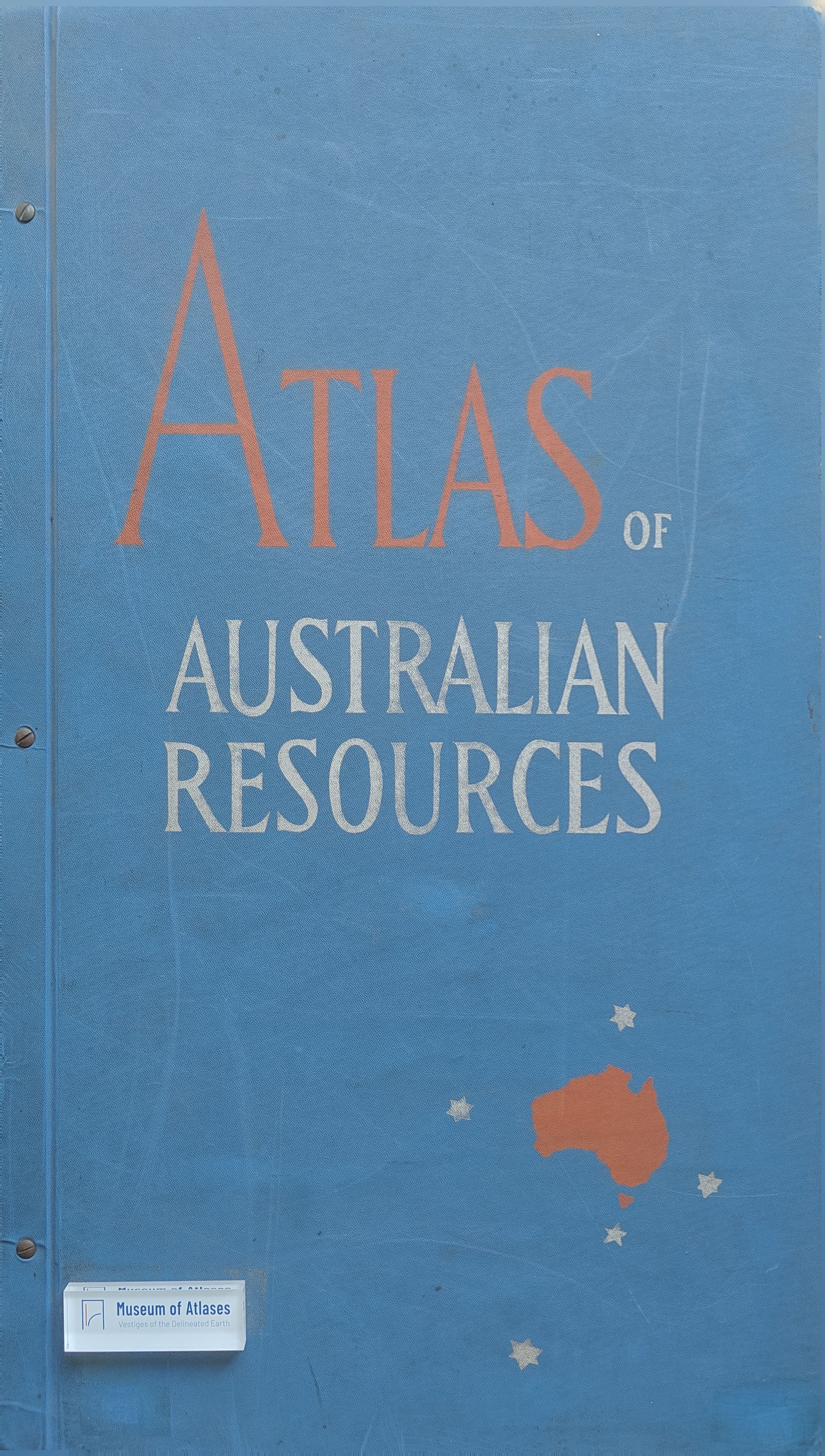
Introduction to Foreign Atlases: Atlas of Australian Resources
外国地图集简介: 《澳大利亚资源地图集》
By 李海晨
- Publication
- 专题地图与地图集编制
- Pages
- 215
Summary
The Atlas of Australian Resources, compiled by the Australian Department of National Development and completed in 1960, comprises 30 pages with 82 maps, published in loose-leaf format for easy updating. It covers agriculture, population, transport, education, health, and other topics, with special attention to water resources, distinguishing projects under construction, planned, and proposed to reflect development potential. Various representation methods, such as dot, symbol, and choropleth techniques, are often combined and linked to climate and population density. However, some legends are poorly designed, and a zoogeographic map is missing.
Related Atlases
Comments
Loading...
0/2000