
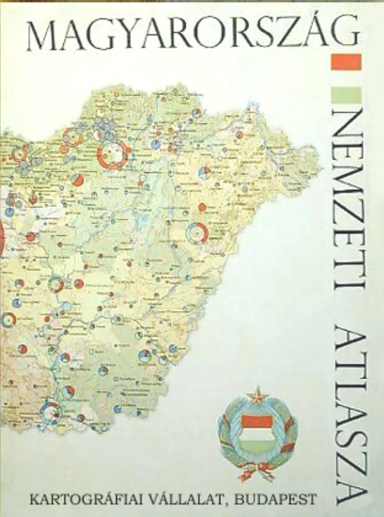
Hungarian national atlas
Венгерский национальный атлас
- Publication
- Известия Академии наук СССР. Серия географическая
- Issue
- 6
- Pages
- 168–172
Summary
This article provides a critical review of the National Atlas of the Hungarian People’s Republic, assessing its thematic structure, cartographic methodology, scientific value, and practical significance. The atlas contains 273 maps and cartograms across 112 map pages, supplemented by eight pages of text. Its seven sections cover natural conditions, population, agriculture, industry, transport and communications, trade, and cultural and social issues, with agriculture and natural conditions receiving the greatest attention. Through systematic examination of map scales, thematic content, graphic techniques, indicator combinations, and comparability within map series, the authors argue that the atlas represents an important methodological advance in national cartography. Although eight scales ranging from 1:1,000,000 to 1:7,000,000 are employed, their rational allocation by subject allows efficient page use without undermining comparison among related maps. Particularly notable innovations include the expressive orographic and hydrographic map, the practically oriented maps of surface-water resources and pollution, the depiction of buried tectonic structures, a sequence of seventeen palaeogeographic maps, large-scale landscape maps integrating natural and anthropogenic elements, and the national geomorphological map. The water-pollution map demonstrates that Hungary’s surface waters were generally relatively clean, while also revealing localized industrial pollution and emphasizing that river-basin management requires international cooperation, especially within the Danube system. The agricultural section provides comparable quantitative and qualitative information on land reform, ownership, farm organization, land use, mechanization, fertilization, crop cultivation, viticulture, fruit growing, livestock production, and veterinary services. The industrial section is distinguished by four comprehensive maps combining employment, electricity consumption, fixed assets, engine capacity, industrial structure, and enterprise characteristics, thereby presenting the spatial organization and economic potential of socialist industry. Sectoral and historical maps further document major changes between the pre-1945 period and 1945–1965. Transport, mass communication, trade, housing, public utilities, and the final integrated economic map broaden the atlas’s representation of national life. The authors conclude that the atlas reflects a high level of Hungarian cartographic culture and geographical research. Produced through cooperation among scientific, governmental, and practical institutions, it serves not only as a historical record but also as a valuable resource for future research, education, economic planning, administration, and international collaboration in environmental and resource mapping.
Related Atlases
Comments
Loading...
0/2000