
A new Czechoslovak national atlas
Ein neuer tschechoslowakischer Nationalatlas
- Publication
- Petermanns geographische Mitteilungen
- Volume
- 112
- Issue
- 3
- Pages
- 237-239
Summary
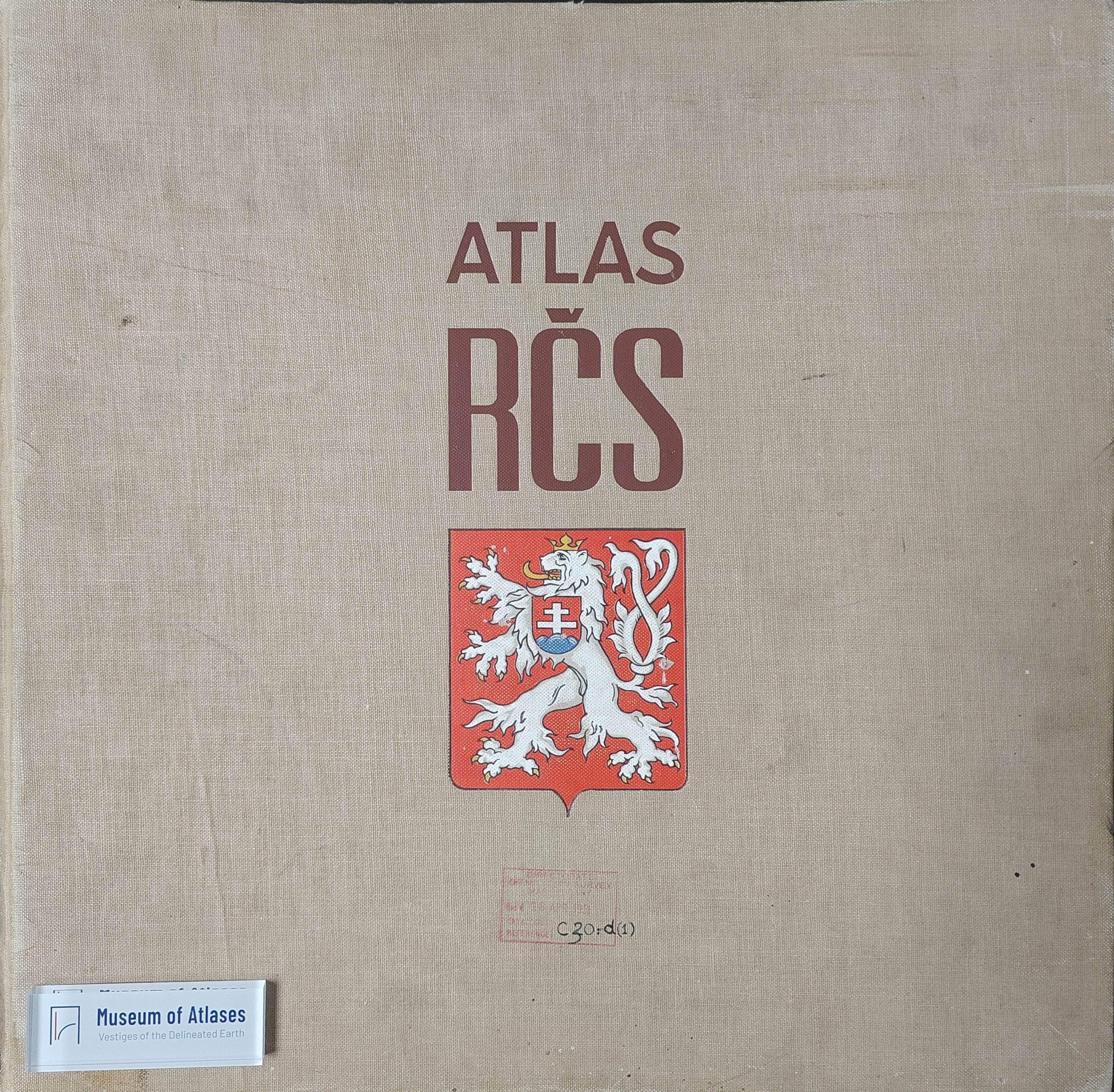
This review evaluates the 1966 Atlas of the Czechoslovak Socialist Republic in terms of its thematic organization, cartographic methods, visual design, and scholarly significance. Produced by the Czechoslovak Academy of Sciences and the Central Administration of Geodesy and Cartography after nine years of work, the atlas involved 80 institutions and 390 contributors. Its 68 plates contain approximately 440 maps, with 1:1,000,000 serving as the principal scale. Through a thematic examination of physical geography, population, economy, transport, trade, and culture, the review argues that the atlas transforms extensive statistical and scientific material into a comprehensive representation of the country’s regional differentiation. Particularly notable achievements include the geological map, maps of land use and agricultural production types, and representations of population change. English and Russian titles, legends, and summaries further improve international accessibility. Methodological innovations include larger-scale inset maps that clarify generalized national overviews and a new areal cartogram technique distinguishing urban and rural conditions within administrative units. Nevertheless, several maps suffer from reduced legibility because of excessive thematic overlay, problematic symbols, or strong generalization, while static statistical maps inadequately convey the dynamics of social and economic development. The reviewer therefore advocates a more systematic integration of topographic-scale extracts with chorographic national maps to expand the explanatory capacity of national atlases. Overall, the volume is judged an outstanding synthesis of scientific research, cartographic technique, and graphic production, as well as an influential model for future national atlas design.
Related Atlases
Comments
Loading...
0/2000