
A new atlas of Italy
Ein neuer Atlas Italiens
- Publication
- Zeitschrift der Gesellschaft für Erdkunde zu Berlin
- Issue
- 9-10
- Pages
- 410-412
Summary
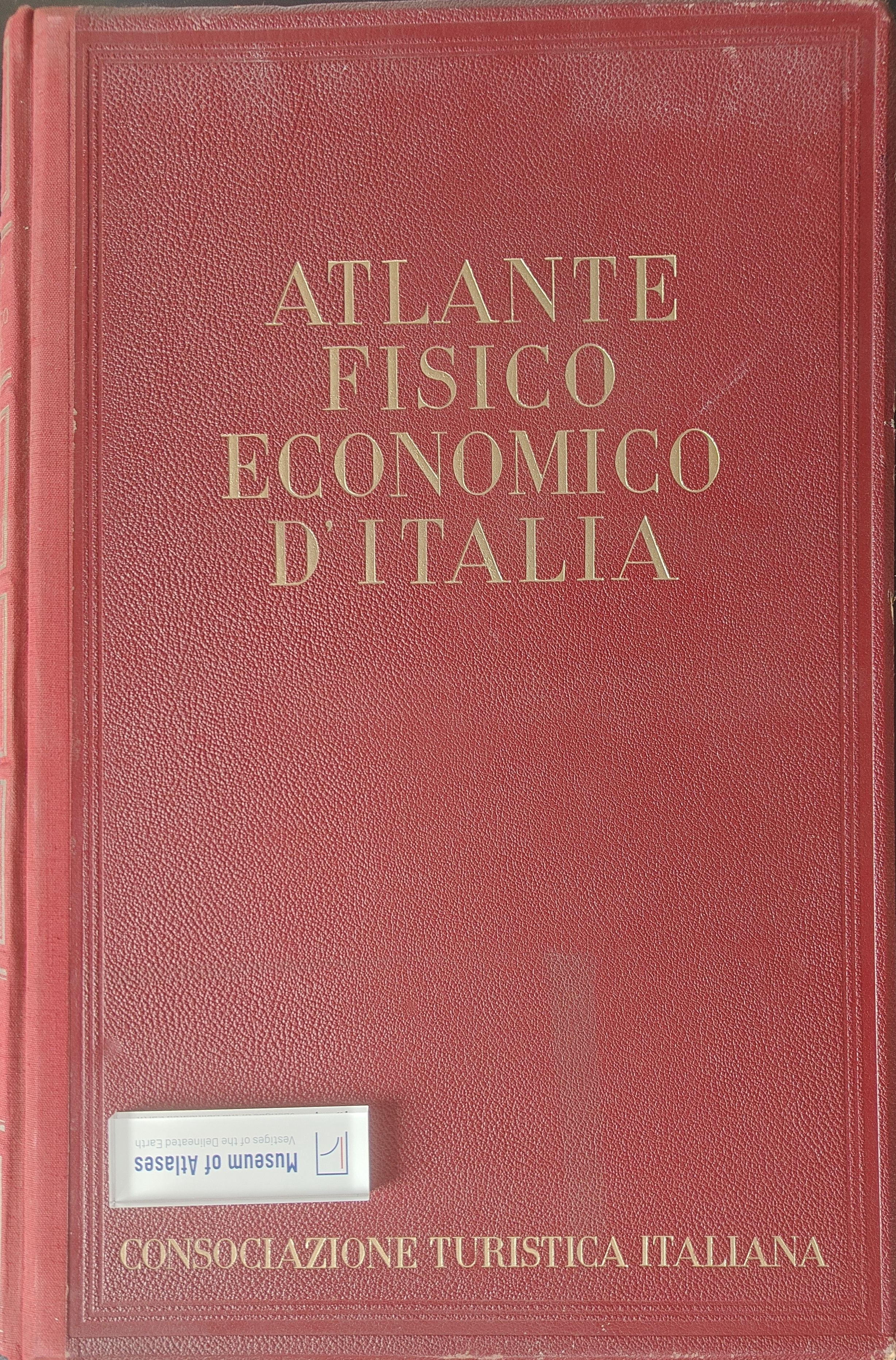
This review evaluates the Atlante fisico economico d’Italia, edited by G. Dainelli and published in Milan in 1940. Comprising 82 plates and 508 maps, the atlas seeks to provide a comprehensive representation of contemporary Italy, excluding its colonies, on the basis of major statistical sources such as the 1931 population census, the 1929 agricultural cadastre, and the 1927 industrial census. Its physical-geographical section covers relief, geology, morphology, petrography, hydrology, paleogeography, oceanography, volcanism, earthquakes, climate, fauna, and vegetation. The economic, transport, and demographic maps address agriculture, industry, population density and change, settlement patterns, migration, Italians abroad, and occupational structure. The reviewer particularly praises the extensive climatic mapping, precise color registration, restrained palette, flexible use of scale, and the accompanying explanatory volume by Aldo Sestini, which clarifies both mapped facts and causal relationships across plates. Criticism focuses on the insufficient differentiation of vegetation formations and on the frequent use of isometric curves for demographic and economic data. Although visually effective, this method can imply gradual transitions where mountainous and lowland, industrial and agricultural districts actually meet abruptly. Overall, the atlas is judged an exceptional achievement of six years of collaborative scholarship and cartographic production, demonstrating the advanced state of Italian geographical science and technical expertise while offering a vivid synthesis of the country’s physical, social, and economic structures.
Comments
Loading...
0/2000