
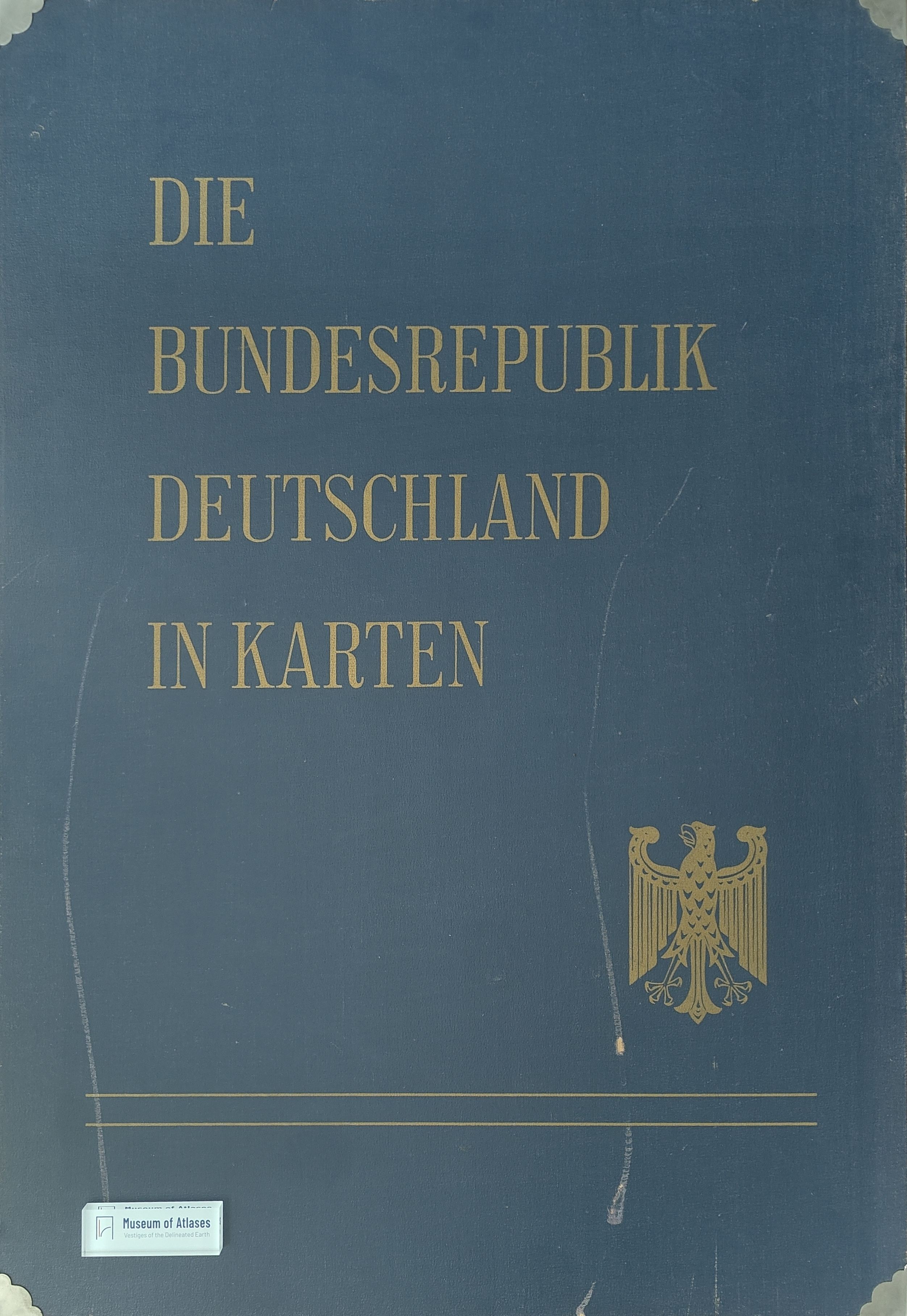
The Federal Republic of Germany in maps
Die Bundesrepublik Deutschland in Karten
- Publication
- Informationen, Institut für Raumforschung
- Issue
- 24
- Pages
- 862-868
Summary
This article introduces the conception, organization, contents, and publication plan of the atlas “The Federal Republic of Germany in Maps,” whose first installment was scheduled for early 1965. Initiated by the Federal Ministry for Housing, Urban Development and Regional Planning, the project is jointly prepared by the Federal Statistical Office, the Institute for Regional Geography, and the Institute for Spatial Research, which bear scientific responsibility under the coordination of an interagency map commission. The atlas is intended to fill the absence of a comprehensive structural cartographic survey and to provide an empirical foundation for federal spatial-planning policy, public administration, business, and academic research. Its principal approach is to map the results of the 1960–61 population, occupation, building, and workplace censuses and integrate them with geographical information and representations of regional problems. Approximately ninety large-format sheets cover administrative divisions, natural conditions, population and culture, economic structures, and spatial classifications. Municipalities, counties, and independent cities serve as the main regional units, with scales and cartographic techniques varying according to analytical purpose. The first installment includes maps of administrative boundaries, soils, precipitation, demographic density and change, migration, religion, refugees, foreign workers, housing, agriculture, industry, taxation capacity, natural regions, and federal development areas. Published in successive installments to ensure rapid availability, the atlas was expected to be largely completed within three years. Together with updated county dossiers, it would constitute an unusually comprehensive regional inventory of Germany and strengthen the informational basis for spatial research, planning, and comparative international study.
Related Atlases
Comments
Loading...
0/2000