
The new atlas of Sweden
Der neue Atlas über Schweden
- Publication
- Erdkunde
- Volume
- 8
- Issue
- 3
- Pages
- 217-218
Summary
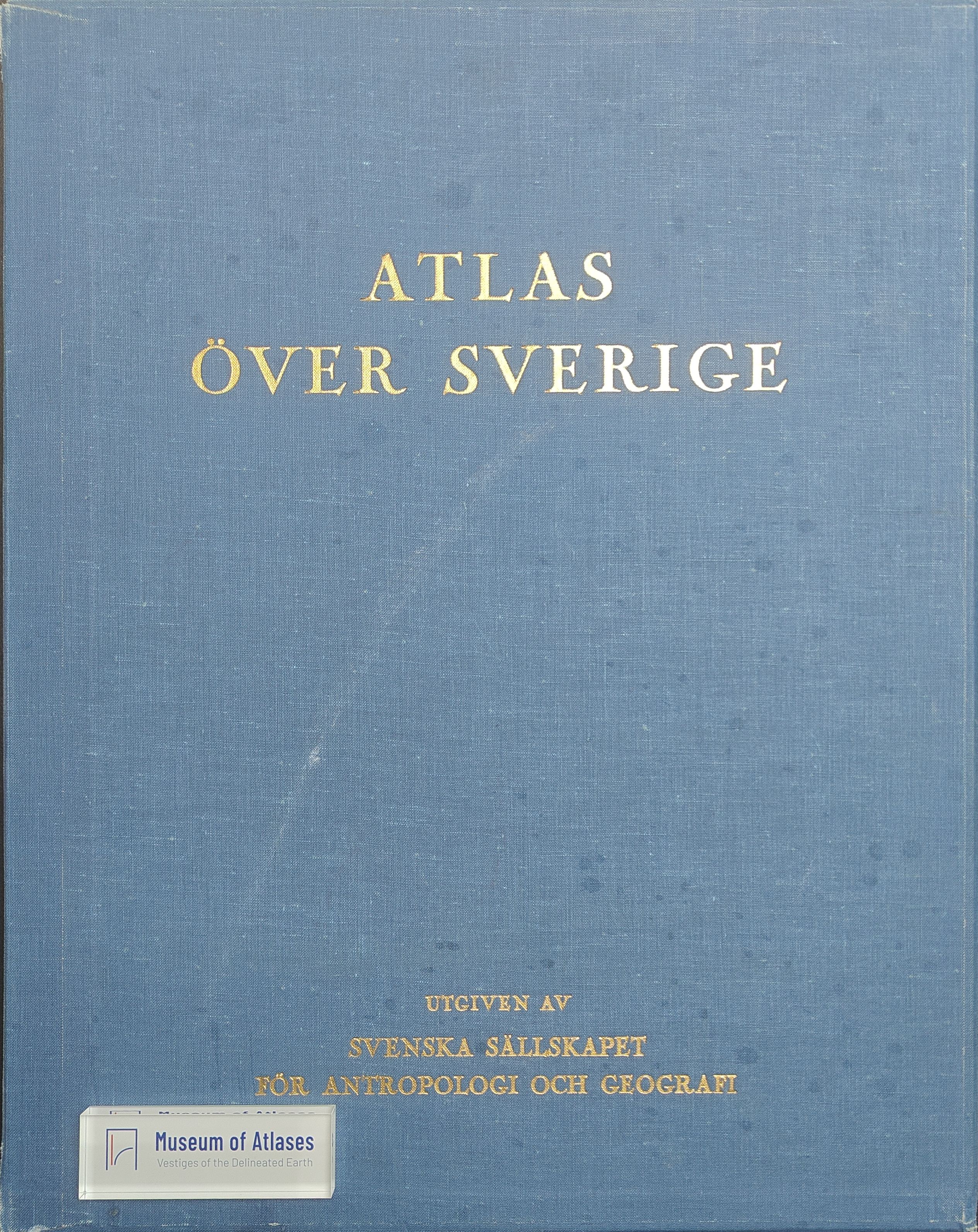
This article reviews the initial installments of Atlas över Sverige, launched in 1953 as Sweden’s first comprehensive national geographical atlas. Against the background of Nordic atlas production and the analytical orientation of Scandinavian geographical research, it assesses the project’s scholarly significance, editorial organization, cartographic design, and thematic scope. The evaluation is based on the first fifteen of seventy-five planned map sheets and therefore emphasizes technical and methodological features rather than a definitive appraisal of the completed work. Published by the Swedish Society for Anthropology and Geography, the atlas combines expert contributions, bilingual Swedish-English texts and legends, explanatory tables and diagrams, and high-quality multicolor offset printing. Its maps cover physical geography, population, agriculture, forestry, industry, transport, commerce, social conditions, culture, politics, and history. Particularly notable are specialized treatments of glacial development, soils, river ice, settlement patterns, agricultural change, and regional diversity, supported by Sweden’s advanced research and long-running national statistics. Although the projection is insufficiently documented and the work is expensive, its accessible presentation, flexible loose-sheet format, broad subject matter, and original problem-oriented cartography make it valuable to both specialists and general readers. The article concludes that, even in its incomplete state, the atlas already ranks among the leading national atlases and promises to strengthen international understanding of Sweden’s geography.
Comments
Loading...
0/2000