
The Australian planning atlas
Der Australische Planungsatlas
- Publication
- Informationen, Institut für Raumforschung
- Issue
- 25-26
- Pages
- 219-233
Summary
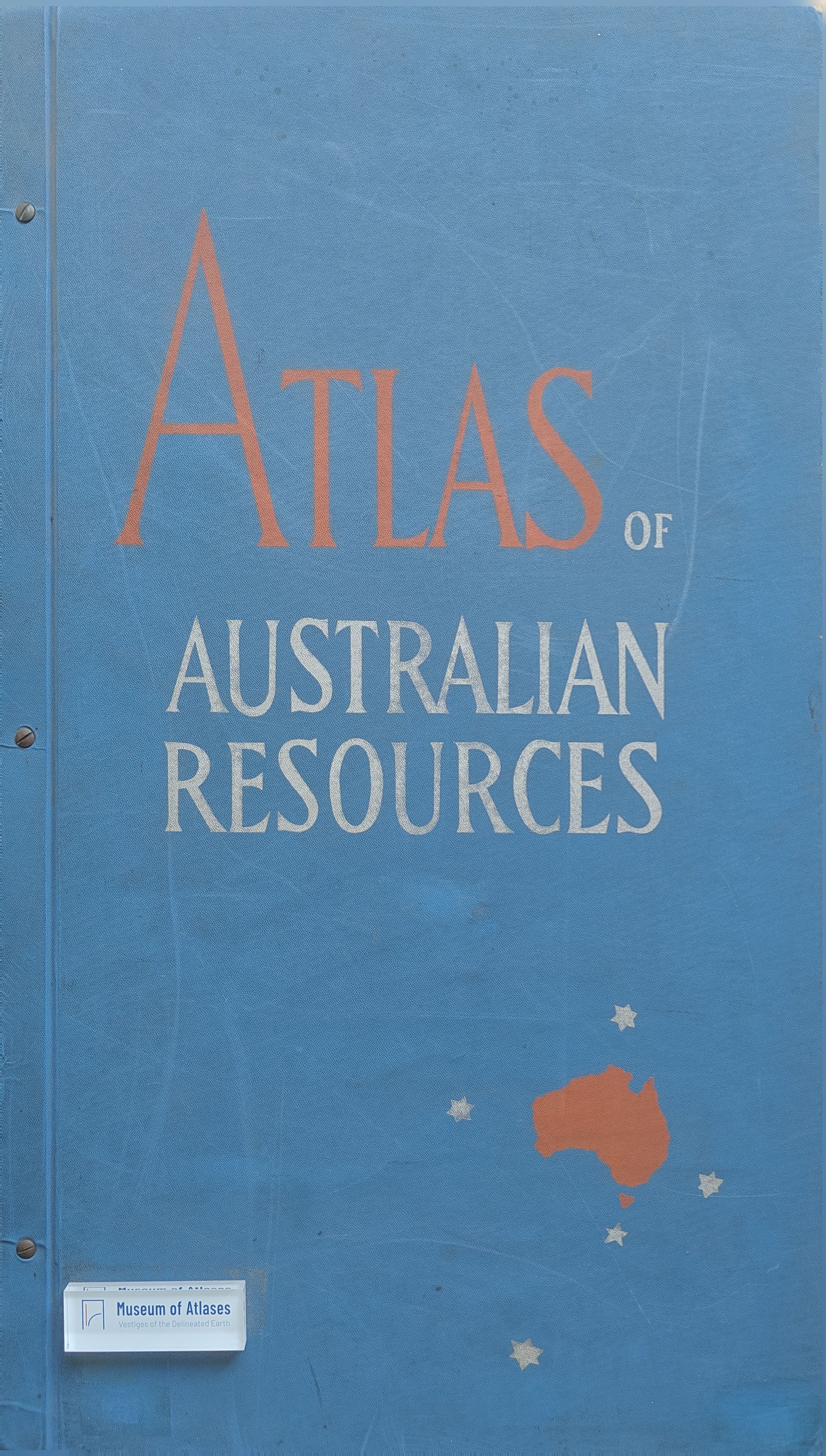
The article examines the origins, planning rationale, institutional framework, contents, and cartographic design of the Atlas of Australian Resources. In the aftermath of the Second World War, Australia faced rapid population growth through natural increase and immigration, expanding industrialization, closer integration into the world economy, new defence obligations, and declining food production. These pressures were compounded by the extreme concentration of population and economic activity in the southeastern cities, especially Sydney, and by immigrants’ continuing preference for metropolitan settlement. Consequently, “development” and “decentralisation” became the two central themes of Australian planning. A comprehensive inventory of natural resources, environmental conditions, and economic and social capacities was regarded as the indispensable starting point for future policy. A 1945 conference of the six state premiers initiated a nationwide resources survey, but Australia’s federal structure meant that the Commonwealth could not simply impose such a programme. Implementation remained primarily a state responsibility, while the federal government provided coordination, advice, standardisation, and mechanisms for exchanging information. The states subsequently delineated ninety-eight regions for development and decentralisation. Earlier regional atlases and surveys produced in Victoria, Tasmania, New South Wales, Western Australia, and the Murray Valley supplied both source material and practical experience for the national project. The proposed atlas comprises approximately fifty thematic maps covering relief, climate, hydrography, soils, vegetation, agriculture, forestry, minerals, population, settlement, industry, energy, transport, communications, urban services, housing, education, health, historical development, administrative and planning boundaries, current major projects, and future development possibilities. Its sheets use a uniform scale of 1:6,000,000, are printed in five to ten colours by offset lithography, and measure about 72 by 75 centimetres. Each map is accompanied by an eight- to sixteen-page commentary containing explanations, statistical tables, regional enlargements, and analyses of specific issues. Compilation is unusually difficult because of Australia’s continental scale, uneven settlement, sparse information for the interior, and the different systems of observation, terminology, classification, and registration historically employed by the formerly separate colonies and states. A single national scale must also reconcile the densely settled and well-documented eastern and southeastern coastal belt with the largely uninhabited interior and west. The author concludes that the atlas is more than a technical aid for planners. It is a foundational instrument for a new phase of coordinated national development, a cartographic and textual reference work for audiences within and beyond Australia, and an account of the continent’s exploration, research, settlement, and economic transformation. By assembling reliable knowledge in a standardised form, it reveals both Australia’s existing resources and its substantial future potential.
Related Atlases
Comments
Loading...
0/2000