
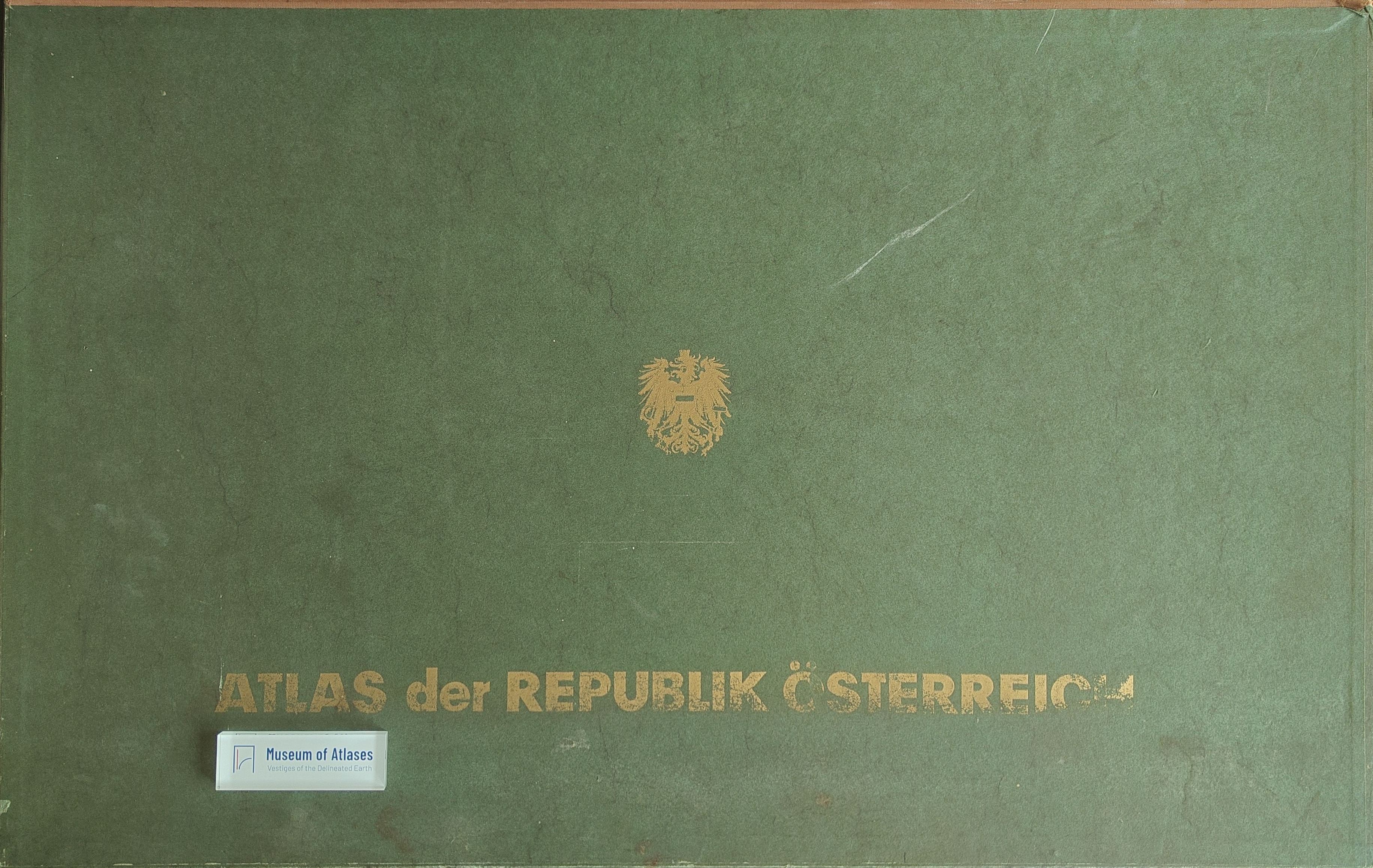
The atlas of the Republic of Austria
Der Atlas der Republik Österreich
- Publication
- Berichte zur Landesforschung und Landesplanung
- Volume
- 6
- Issue
- 1
- Pages
- 12-18
Summary
The article presents the aims, conceptual foundations, organization, and production of the Atlas of the Republic of Austria, a long-term project undertaken by the Commission for Spatial Research of the Austrian Academy of Sciences. Its first installment had appeared when the article was written, and further installments comprising roughly one hundred additional map plates were planned. The author argues that such a national atlas is indispensable in a modern state, where economic, social, administrative, and infrastructural processes have become increasingly complex and interdependent. Conventional statistical averages, especially those aggregated by provinces or political districts, obscure structural differences and cannot adequately represent the concrete realities of regions. A national atlas therefore provides a form of “cartographic regional geography,” visually documenting the country’s natural environment, population, settlements, economy, transport, administration, and cultural institutions while revealing their spatial relationships. The article distinguishes this comprehensive national atlas from planning atlases designed directly around development programs. Planning atlases should select evidence according to identified structural deficiencies, planning objectives, and proposed interventions. Although the Austrian atlas adopts a broader and more traditional thematic arrangement, it is not intended to be a mere repository of material for spatial research. Its internal logic proceeds consistently from analysis to synthesis. Within thematic sections covering landforms, climate, water, soils, vegetation and fauna, settlement, population, agriculture and forestry, energy, mining, industry, trade, transport, tourism, administration, and culture, individual phenomena are combined into increasingly complex spatial formations. Thus, terrain elements become terrain types; plant communities and soils are organized into larger associations; natural factors are synthesized into natural regions; and settlements, agricultural activities, industries, transport systems, and tourism are interpreted as coherent regional structures. This integrative method culminates in broader cultural-geographical syntheses, including economic landscapes, systems of central places, socioeconomic municipal types, commuting patterns, electoral behavior, areas of severe population decline, and regions requiring development assistance. The atlas thereby treats inhabited and utilized space as the product of successive interactions among inorganic nature, living systems, human society, economic activity, and institutional organization. It seeks both scientific completeness and practical relevance without prescribing a single planning program. Production is organized through interdisciplinary collaboration. Specialists prepare individual map designs and source materials, while the editorial body coordinates their scholarly and cartographic treatment to ensure consistency. Where adequate data do not exist, the project conducts original surveys, including a nationwide inquiry among Austrian municipalities to determine the hierarchy of central places and a geological survey concerning groundwater, springs, and water supply. Freytag-Berndt and Artaria assume responsibility for technical execution, printing, and publication, while the Academy and several ministries provide essential subsidies. The author concludes that the atlas is not only an instrument for research, policy, administration, and public information, but also a medium of national self-representation and civic self-understanding. By showing how Austria’s land, people, resources, institutions, and development possibilities belong together, it performs a cultural task comparable to periodically rewriting the history of a nation.
Comments
Loading...
0/2000