
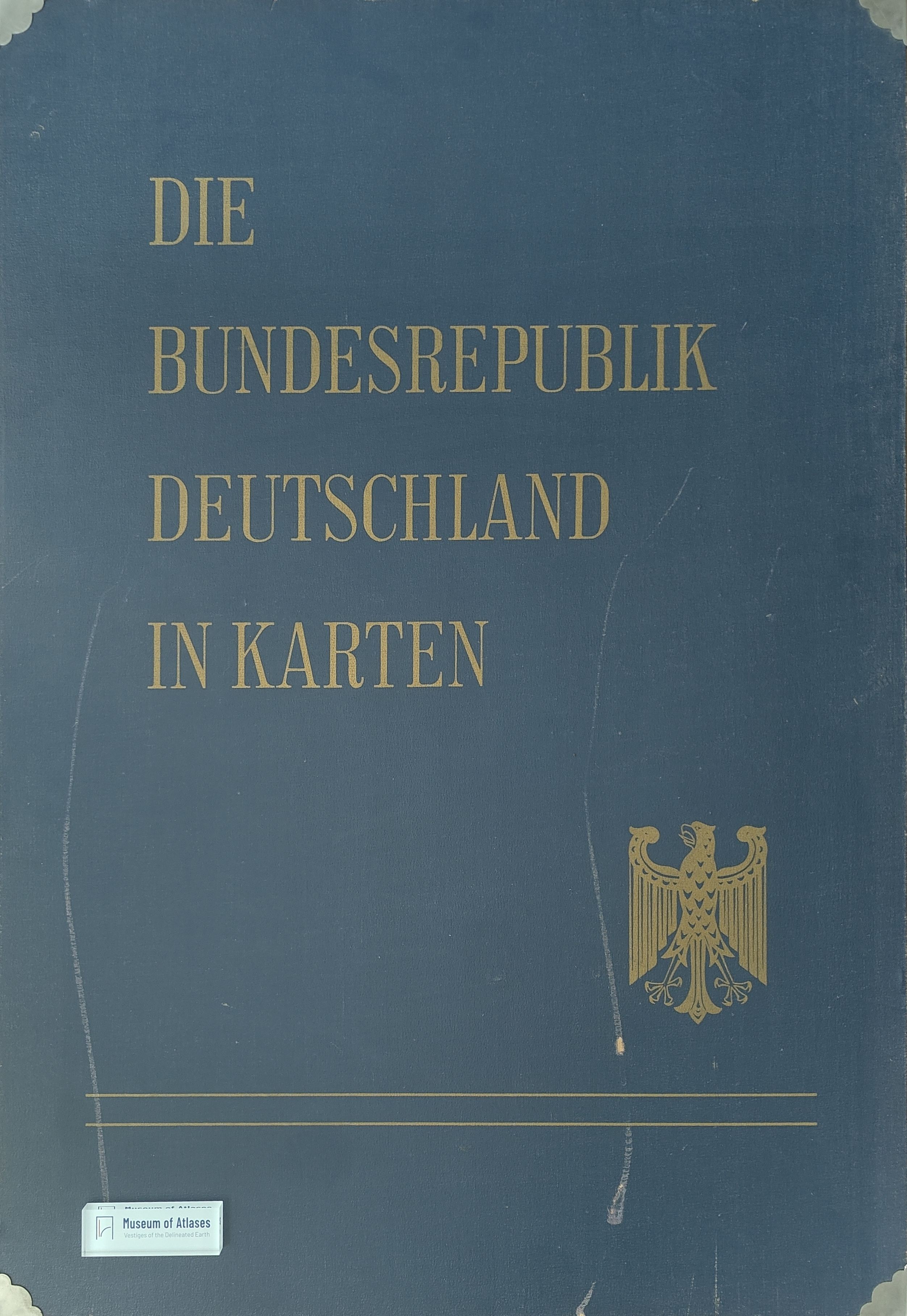
The atlas work 'The Federal Republic of Germany in maps'
Das Atlaswerk 'Die Bundesrepublik Deutschland in Karten'
- Publication
- Wirtschaft und Statistik
- Issue
- 12
- Pages
- 705–707
Summary
This article explains the rationale, methodology, structure, and implementation plan for the atlas “The Federal Republic of Germany in Maps.” Drawing on the large-scale censuses of 1960–1961, the project responds to growing demand from government, business, research, education, and spatial planning for standardized and directly comparable regional statistics. It argues that maps complement tables and interpretive texts by locating statistical phenomena geographically, thereby serving both as research tools and as independent sources of spatial knowledge. Jointly produced by the Federal Statistical Office, the Institute for Regional Geography, and the Institute for Spatial Research, the atlas is conceived not as a planning atlas but as a comprehensive inventory of Germany’s demographic, economic, natural, administrative, and spatial structures. Methodologically, it adopts a loose-leaf format, an open four-digit classification system, standardized sheet sizes, and consistent base maps at scales of 1:1 million, 1:2 million, and 1:2.7 million. Municipalities and districts constitute the principal mapping units, while legends summarize ranges, averages, extrema, and frequency distributions. The program is organized into five divisions: general and administrative surveys; nature; population and culture; economy; and spatial structure. Approximately 87 sheets containing about 130 maps are planned, covering population change, migration, employment, housing, health, education, agriculture, industry, transport, finance, regional centers, and protected areas. A joint map commission coordinates thematic selection, cartographic standards, and publication schedules. The first installments were planned for 1965–1966, with later replacement and updating of individual sheets. The atlas thus establishes a unified national framework for regional comparison, supports evidence-based administration and economic planning, and strengthens Germany’s capacity for international statistical comparison.
Related Atlases
Comments
Loading...
0/2000