
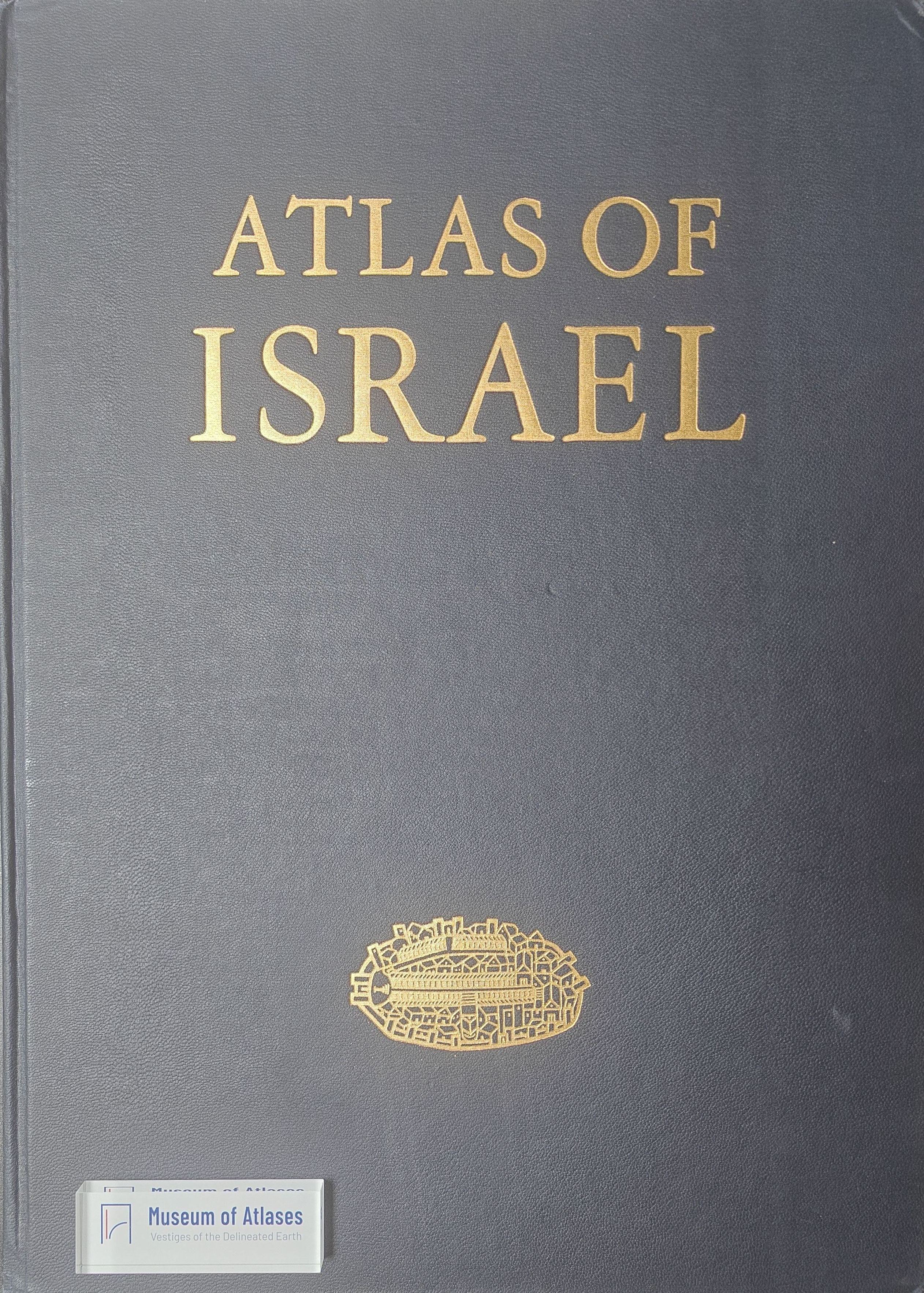
Book reviews: Atlas of Israel
Besprechungen: Atlas of Israel
- Publication
- Kartographische Nachrichten
- Volume
- 21
- Issue
- 3
- Pages
- 125
Summary
This review evaluates the second, revised English edition of the Atlas of Israel, published in 1970 after the earlier Hebrew edition of 1956–1964. The compressed edition incorporates Judaea, Samaria, the Gaza Strip, and the Golan Heights, which had been under Israeli administration since the 1967 Six-Day War, while excluding the Sinai Peninsula because of scale limitations and insufficient data. The reviewer assesses the atlas in terms of thematic organization, evidentiary transparency, and cartographic technique, highlighting its extensive sections on history and the history of cartography as well as its treatment of relief, geology, climate, land use, agriculture, trade, settlement, and global Jewish population patterns. Particular strengths include the representation of temporal change alongside contemporary conditions, attention to sharp spatial contrasts, statements concerning map accuracy, explicit source citations, enlarged regional details, broader geographical contextualization, and substantial explanatory texts with bibliographies. The review concludes that the atlas combines scientific precision with innovative and highly distinctive cartographic design. Its integrated portrayal of Israel’s complex physical, historical, human, and economic geography gives it an exceptional position among national atlases and makes it significant both for its substantive coverage and for its methods of thematic representation.
Related Atlases
Comments
Loading...
0/2000