
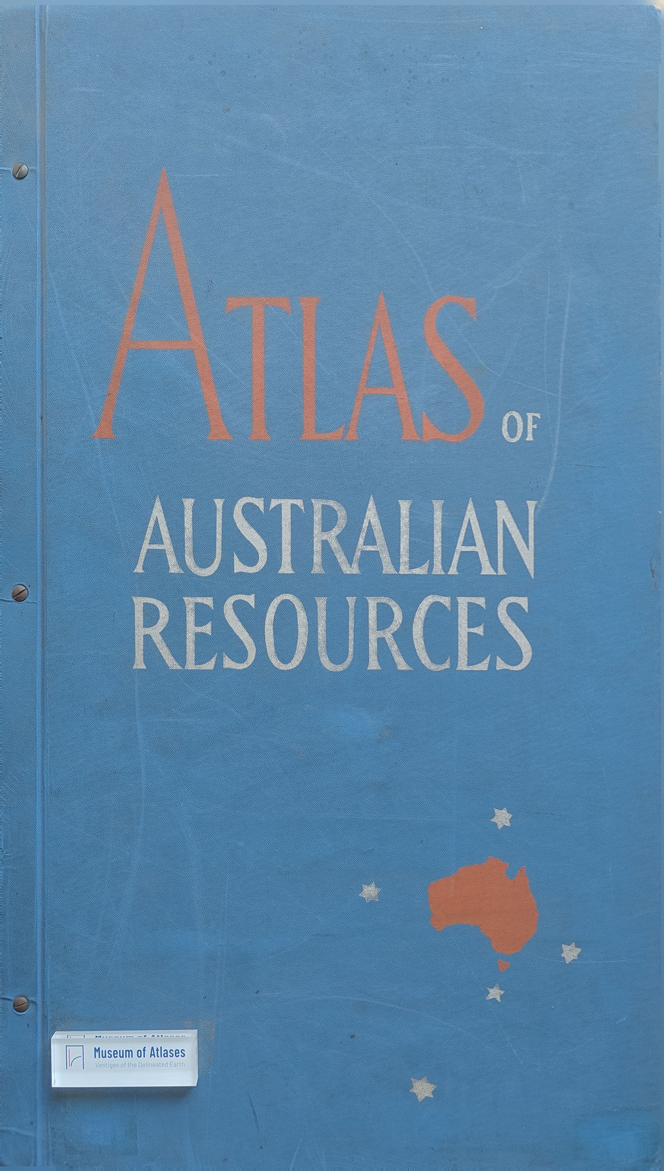
Book reviews: Atlas of Australian resources
Besprechungen: Atlas of Australian Resources
- Publication
- Die Erde
- Issue
- 1
- Pages
- 91-92
Summary
This article reviews five newly published maps with explanatory booklets of the Atlas of Australian Resources, prepared by the Department of National Development, Canberra, and published by Angus & Robertson Ltd., Sydney and London, in early 1956. The five maps are described individually: the Physical Features map combines hypsometric tints with hill shading to depict relief; the Forest Resources map uses color coding to show forest types and their relationship to precipitation; the Population Increase and Decrease map employs color gradations and proportional symbols to reveal a striking pattern of widespread rural population decline between 1933 and 1947, contrasted with growth in many small and medium-sized towns and a dramatic expansion of major cities; the Roads and Aerodromes map classifies the road network by road class and surface type on a population density base, with special symbols for airports and flying boat bases; and the Railways map distinguishes five track gauges by color, train frequency by line thickness, and freight types by letter symbols. The author notes the remarkable emptiness of the Australian interior compared to the densely settled coastal margins, and looks forward with anticipation to the publication of further sheets of this significant work.
Related Atlases
Comments
Loading...
0/2000