
Book reviews: Atlas of Australian resources
Besprechungen: Atlas of Australian Resources
- Publication
- Die Erde
- Issue
- 2
- Pages
- 188-189
Summary
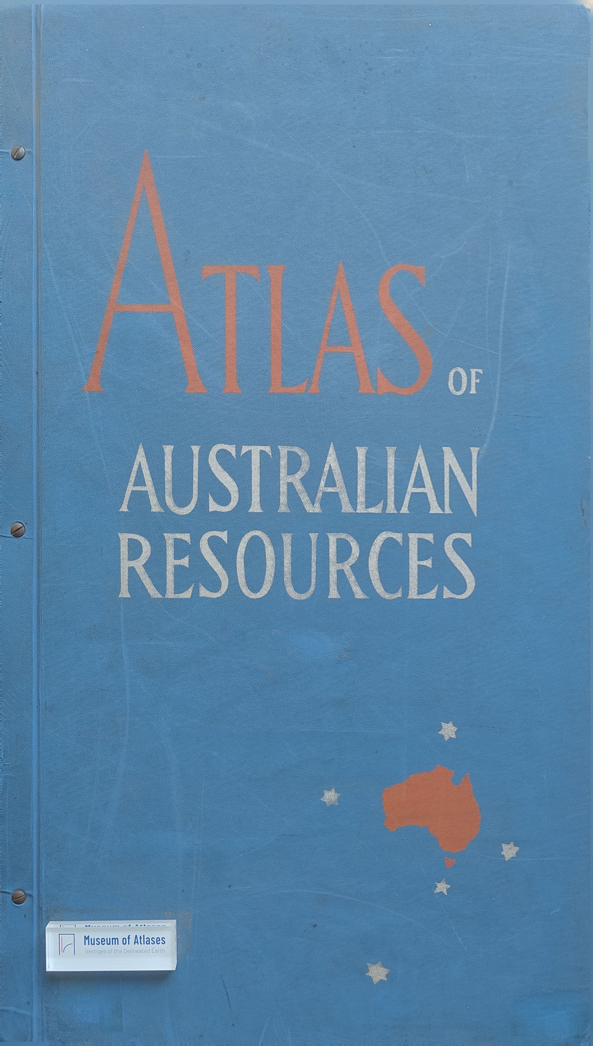
This article reviews the Atlas of Australian Resources, published from 1952 onwards by the Department of National Development in Canberra, and the Tabvlae Geographicae Qvibvs Colonia Bonae Spei Antiqua Depingitvr, an atlas of 18th-century Cape Colony maps. The Australian atlas, planned for about 50 sheets, covers topics such as mineral deposits, climate, rainfall, temperature, underground water, soils, agriculture, population, administrative areas, and major development projects. The review details the cartographic techniques employed—projection, scale, symbolization, and color design—highlighting innovations like the circular arrangement of rainfall maps and the volumetric spheres for population centers. The Cape Colony atlas, published to commemorate the 300th anniversary of Dutch settlement, reproduces 18th-century manuscript maps with modern comparative sheets. Both atlases represent high standards of cartographic craftsmanship and serve as valuable resources for regional geographic studies.
Related Atlases
Comments
Loading...
0/2000