
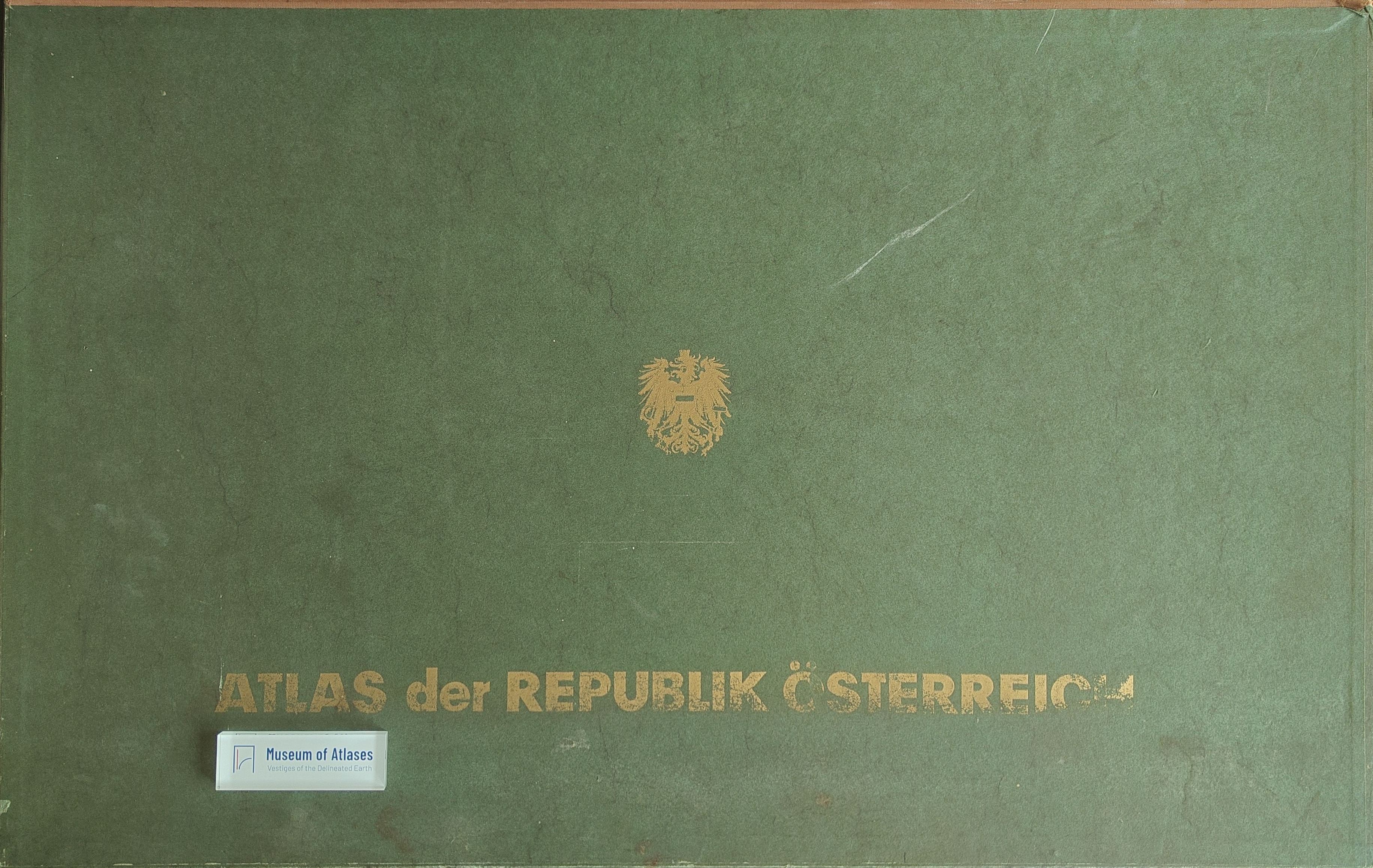
Book reviews: Atlas of the Republic of Austria
Besprechungen: Atlas der Republik Österreich
- Publication
- Geographische Rundschau
- Volume
- 19
- Issue
- 5
- Pages
- 198-199
Summary
This review assesses the second installment of the Atlas of the Republic of Austria, published in 1963. Its 21 plates bring the completed total to 43 within a projected national atlas of 115–120 plates. Rather than merely compiling planning data, the atlas seeks to represent Austria’s cultural landscape through synthetic, functional, and social-geographical analysis. The new maps address geology, climate, river systems, Roman-era topography, dialect development, livestock markets, mining, industry, commerce, transport, education, and central-place regions. Most principal maps use a scale of 1:1 million and are supplemented by inset maps, diagrams, and detailed legends. The reviewer praises the cartographic team’s original solutions for presenting complex spatial relationships accurately. Despite minor omissions caused by financial and technical constraints, the atlas is judged successful and useful; accompanying explanatory texts are recommended.
Comments
Loading...
0/2000