
Book reviews: Atlas of Colombia
Besprechungen: Atlas de Colombia
- Publication
- Kartographische Nachrichten
- Volume
- 18
- Issue
- 6
- Pages
- 230-231
Summary
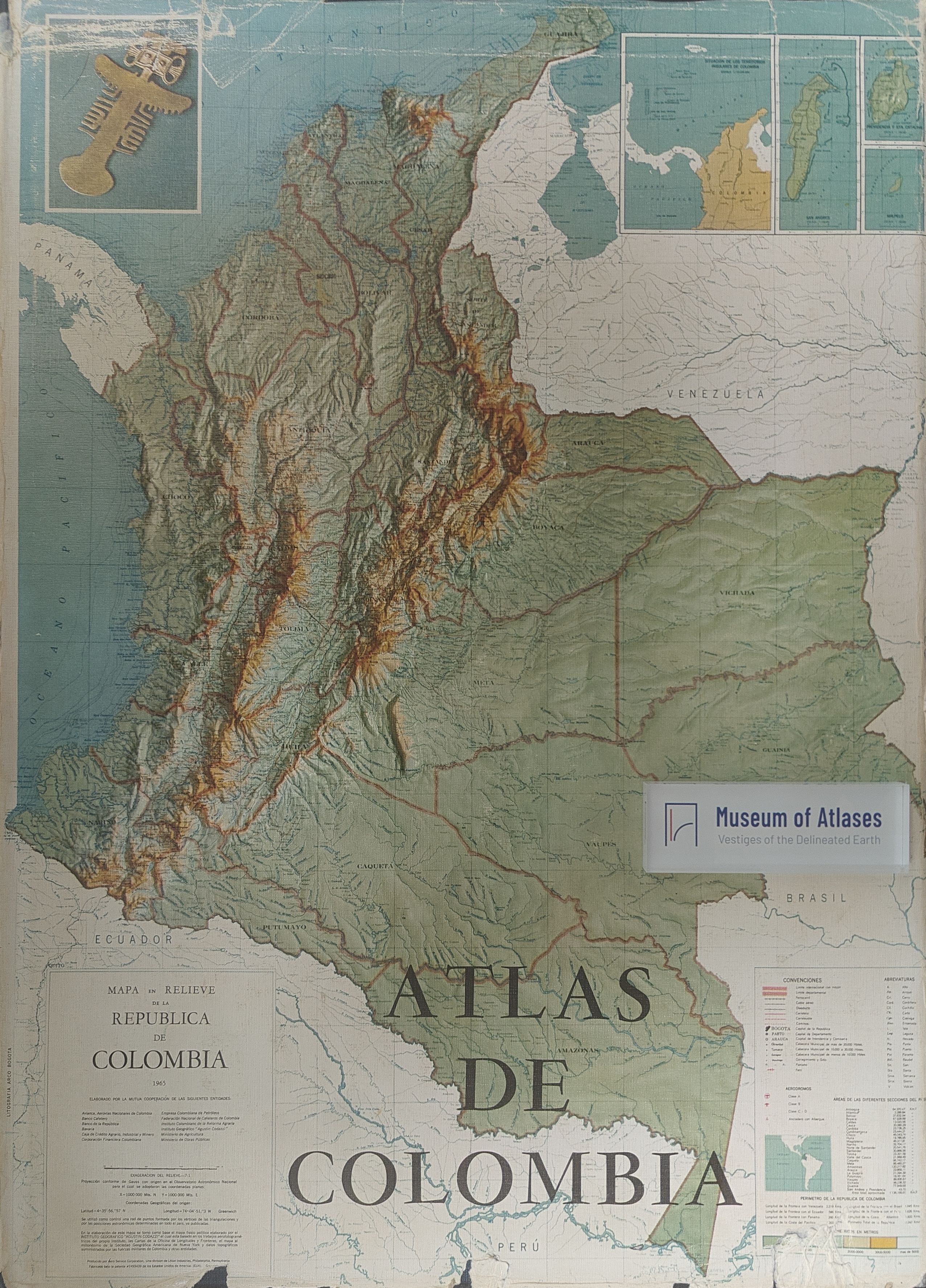
This review evaluates the Atlas de Colombia, published in 1967 by the Instituto Geográfico Agustín Codazzi, as a major contribution to the international series of national atlases. Its introductory text provides a concise yet substantial account of Colombia’s location, geography, population, historical development, and economy, supported by statistical data through 1965. The atlas combines general scientific material on astronomy and physical geography with clear explanations of map projections, official topographic mapping, and cartographic symbols. Its historical section reproduces significant early maps, including a map from around 1570, Blaeu’s seventeenth-century work, and the 1826 map based on Alexander von Humboldt’s observations. The principal contemporary section presents a 1966 general map and numerous thematic maps covering geology, climate, hydrography, flora, fauna, population, mining, agriculture, industry, transportation, and geodetic networks. These materials also reveal pronounced regional inequalities in surveying and development between the Andean and Atlantic areas and the Pacific and Amazonian lowlands. Maps of Colombia’s administrative units and capital cities further demonstrate the use of photogrammetric methods, although their quality is uneven. Despite minor weaknesses in some illustrations and urban plans, the reviewer praises the atlas’s thematic breadth, meticulous preparation, visual richness, and excellent printing, recommending it as an authoritative reference for scholars of South America and national cartography.
Related Atlases
Comments
Loading...
0/2000