
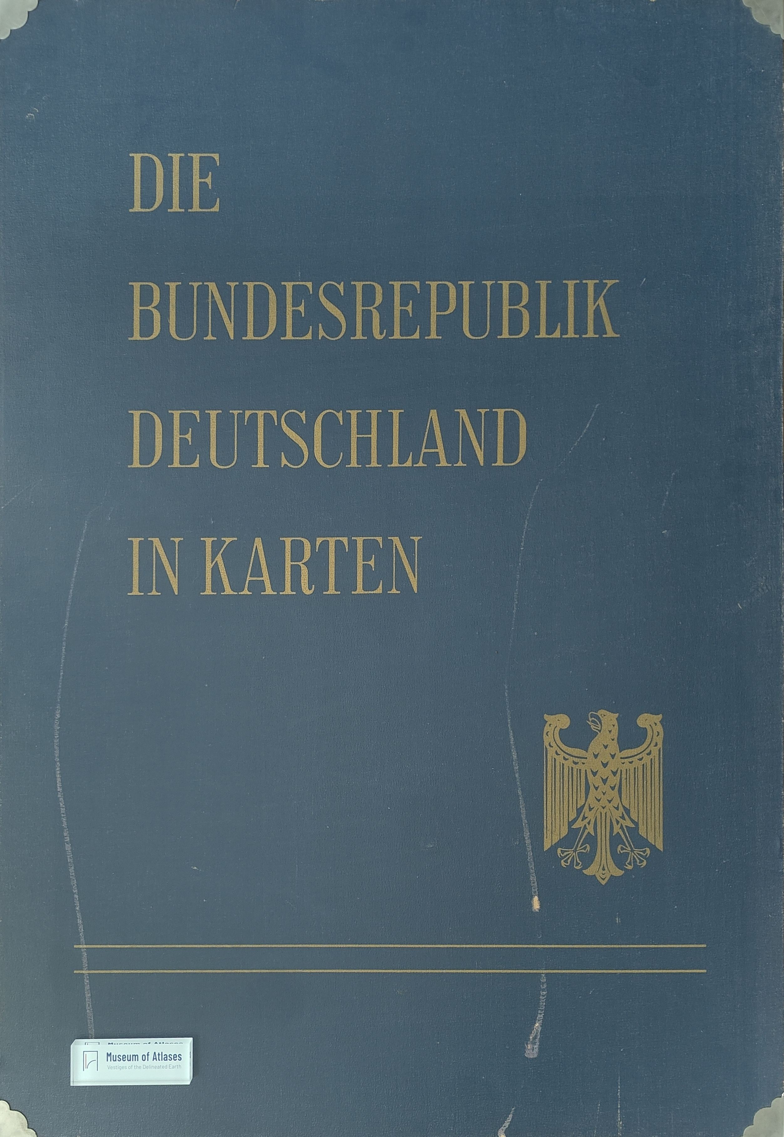
Atlas work: The Federal Republic of Germany in maps
Atlaswerk: Die Bundesrepublik Deutschland in Karten
- Publication
- Die Erde
- Volume
- 97
- Issue
- 4
- Pages
- 293–294
Summary
This review examines the first installment of a major cartographic inventory of the Federal Republic of Germany, published in 1965 alongside the Federal Spatial Planning Act. Compiled by three federal research and statistical institutions, the atlas uses census and administrative data from 1960–1963 to map natural conditions, population, housing, economic activity, administrative divisions, and spatial structures, chiefly at municipal and district levels. Its expandable framework comprises five thematic groups; the initial installment presents forty maps. Particularly valuable are the industrial maps, which indicate a weakening preference for major agglomerations, growing industrialization of smaller locations, and marked structural change in the Ruhr region. Although the atlas remains incomplete, it already provides an important empirical foundation for scholarship, economic policy, and spatial planning. Its findings support planning objectives aimed at decentralization and a more balanced relationship between urban and rural areas.
Related Atlases
Comments
Loading...
0/2000