
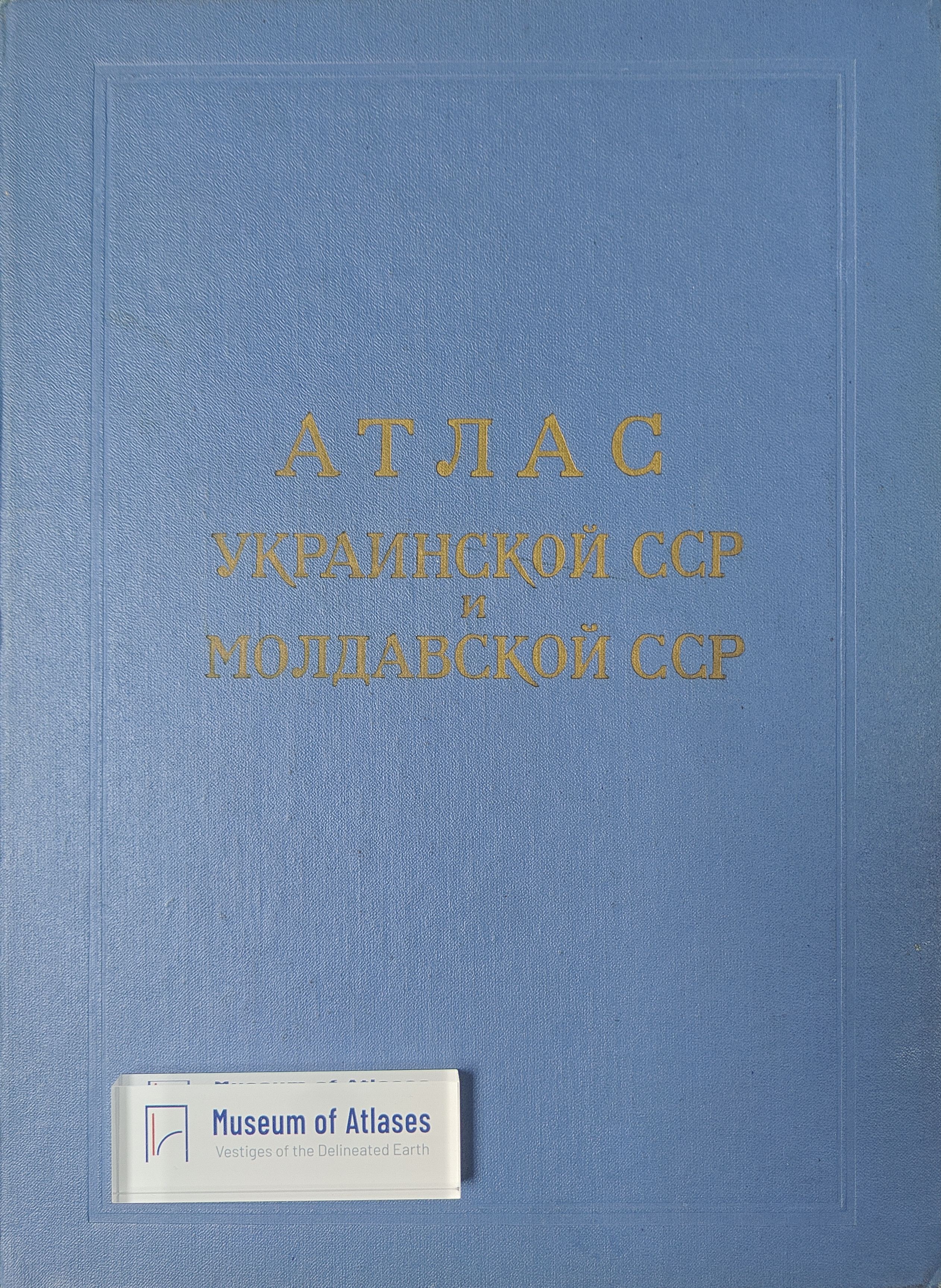
Atlas of the Ukrainian SSR and Moldavian SSR
Атлас Украинской ССР и Молдавской ССР
- Publication
- Геодезия и картография
- Issue
- 5
- Pages
- 60-62
Summary
This article introduces the Atlas of the Ukrainian SSR and Moldavian SSR, the third comprehensive atlas published by the Chief Administration of Geodesy and Cartography. Published in 1962 with 114 pages, the atlas contains 71 pages of maps covering political-administrative divisions, physical geography (geology, climate, soils, vegetation, etc.), and socio-economic aspects (population, industry, agriculture, transport, etc.). Compiled by cartographers from Ukraine and Moldova in collaboration with academic institutions, it reflects the latest research and statistical data of the time, aiming to provide a comprehensive overview of the natural conditions, economy, and cultural development of the two republics for a wide readership.
Related Atlases
Comments
Loading...
0/2000