
Atlas of Switzerland 2 - A highly interactive thematic national atlas
- Publication
- Multimedia Cartography
- Pages
- 161-182
Summary
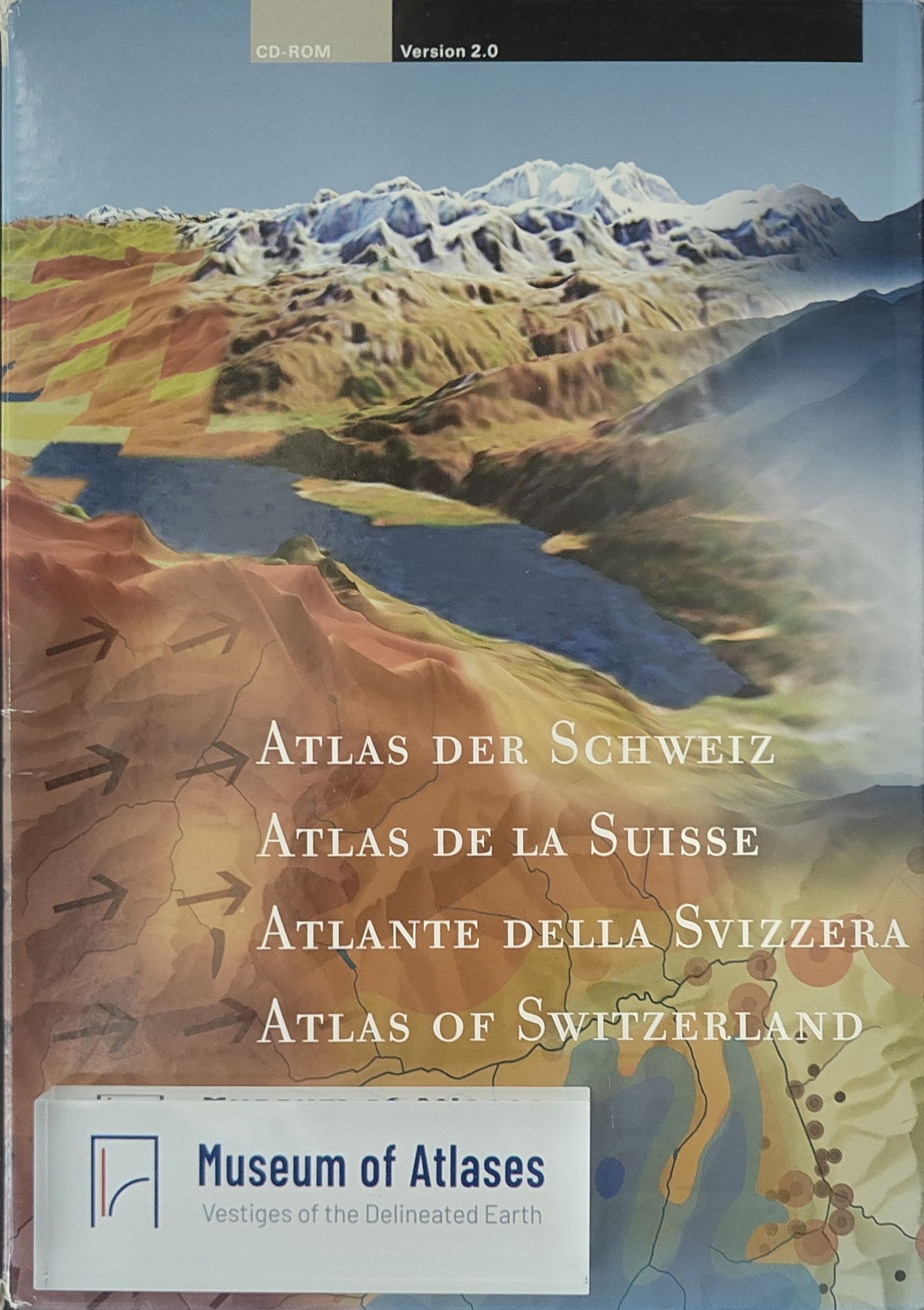
This chapter presents the conceptual framework, project organization, technical implementation, interactive functions, and future development of Atlas of Switzerland 2 (AoS2), a national multimedia atlas designed for public, educational, and professional use. Building on the first digital edition, AoS2 was comprehensively redesigned while retaining two governing principles: user-centered development and consistently high quality in cartography, graphics, thematic content, and software engineering. The atlas is conceived as a “storybook” in which maps provide both the starting point for exploration and the principal form in which results are communicated. Rather than embedding multimedia in a conventional GIS, the project adopts a “GIS in Multimedia” approach. Its authors therefore created customized navigation, visualization, and analytical functions that remain accessible to nonspecialists, while refining all vector and raster data to preserve rigorous cartographic standards. A central innovation is the “Adaptive Map,” which combines predefined automated behavior with direct user interaction. Multiscale layer management, smooth adaptive zooming, controlled symbol enlargement, active and passive layers, and hidden auxiliary layers maintain visual clarity and stable information density as scale and context change. Distributed on CD-ROM and DVD in German, French, Italian, and English, AoS2 contains more than 1,000 themes, including updated and expanded statistical material and approximately 650 topics concerning nature and the environment. It also integrates hundreds of texts and images as well as audio and video. The 2D component supports raster and symbol maps, configurable base maps, thematic comparison, querying, temporal exploration, export, and printing. The 3D component provides panoramic views and block diagrams, multilayer overlays, and analytical, cartographic, and photorealistic rendering. Navigation is treated as an integral analytical capability. Users can shift, rotate, and zoom continuously; define viewpoints and lines of sight; move over terrain; or use the “climber” mode to place a camera on a selected summit or center a mountain in a block diagram. A 2D reference map displays the footprint or camera geometry of each 3D view, while lists of mountains, passes, and communes provide nearly 7,000 predefined viewpoints. Extensive queries retrieve administrative and geographic objects and terrain attributes such as elevation, coordinates, aspect, slope, camera distance, and thematic values. The authors conclude that AoS2 constitutes a mature, modular, and extensible model for interactive national atlases. Planned editions will address transportation and energy, followed by culture and history. Future functions include multivariate symbols, diagrams and network maps, enhanced atmospheric and surface rendering, 3D vectors and statistical surfaces, user-defined labels, advanced color tools, smart legends, external statistical data and GPS tracks, and GIS operations such as selection and aggregation. Delivery is expected to expand from physical media to the Internet, school products, regional extracts, and tourism applications.
Related Atlases
Comments
Loading...
0/2000