
Atlas mapping in Ukraine and problem of national atlas of Ukraine creation
- Publication
- Proceedings of the 17th International Cartographic Conference
- Pages
- 2834–2837
Summary
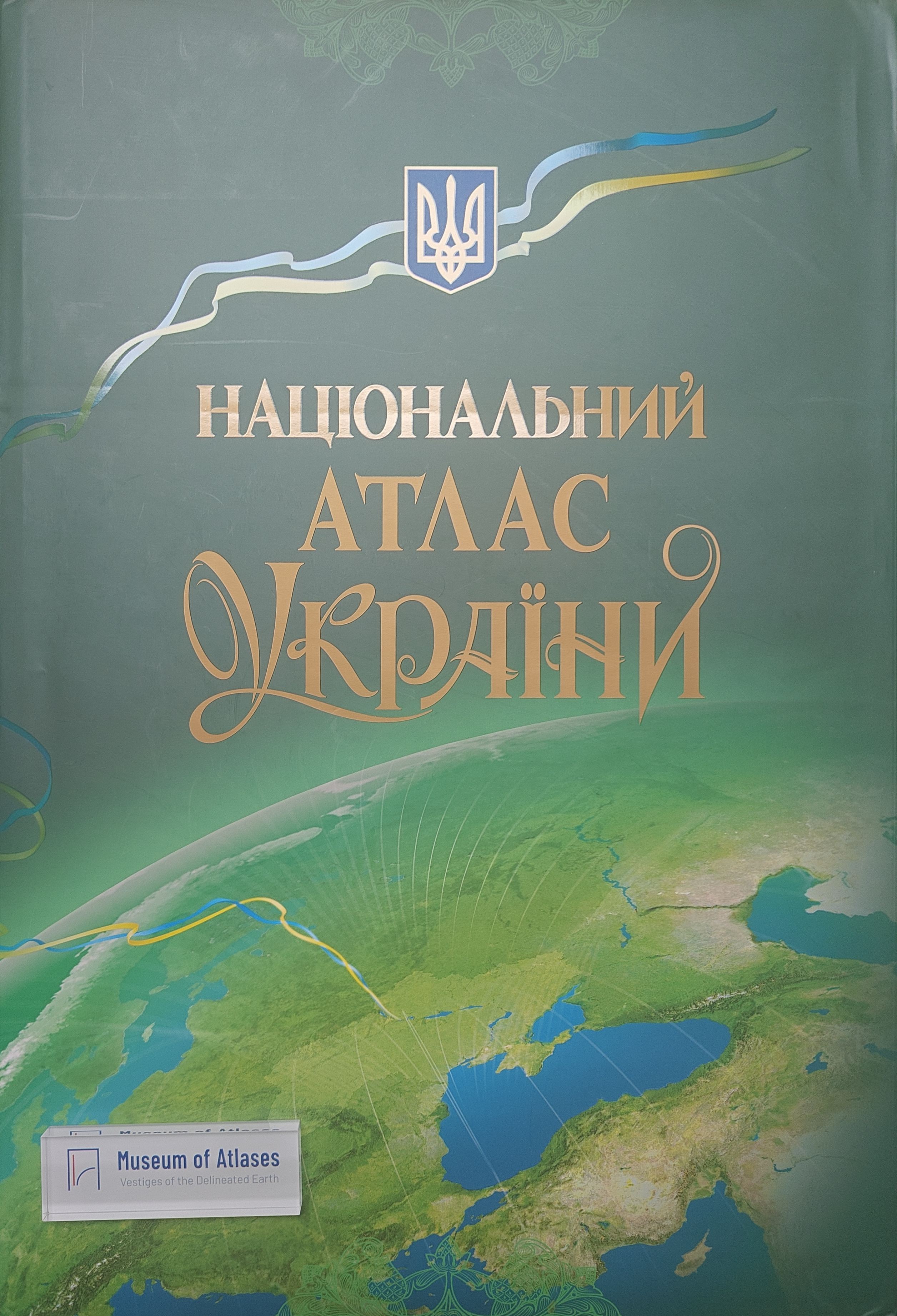
Peculiarities of complex and subject atlases compilation in Ukraine are discussed. Specifically atlases are complex shcool-regional study ones, which are making according to administrative districts of Ukraine. The structure for "Atlas of natural conditions and natural resources of Ukraine SSR (1978) is given. Institute of Geography began to elaborate the National Atlas of Ukraine. Its structure has been defined. The traditional paper edition and atlas electronic version are provided. The latter is compiled and includes 272 subjects such as nature, resources, population, economy and social infrastructure (36 statistical maps, 52 diagrams, 53 texts, and 126 statistical files by means of those the user may construct statistical maps). The formation of atlas mapping in Ukraine reflects conditions and development of Ukrainian State. Firmly Ukraine was considered as a part of Soviet super state, so cartography information has been presented accordingly. The first complex atlas "Geographical Atlas of Ukrainian Soviet Socialist Republic by L. Klyovany, edited by acad. K. Vobly, acad. P. Tutkovsky, acad. O. Fomin had appeared in 1928. Latter there were published some thematic atlases: "Climatic atlas of main regions of beet sowing", 1930; 'Agricultural atlas of Ukrainian SSR", 1958; "Atlas of paleogeographical maps of Ukrainian and Moldovian SSRs", 1960; "Agroclimatic atlas of Ukrainian SSR", 1964; "Climatic atlas of Ukrainian SSR", 1969; and complex atlases: "Atlas of Ukraine and adjoining regions". 1937, "Atlas of Ukrainian SSR and Moldavian SSR", 1962. School atlases of study of regions are as their essence specific complex ones. They were published for the most part of administrative districts of Ukraine. Since 1980 it was published the atlases of different districts as Kyiv's (1980, 1985), Donetsk 's (1982), Rivno 's (1985), Vinnitsa ' (1987), L' viv 's (1989), Volyn ' (1990), Ivano-Frankivs 'k' (1990), Transcarpathian (1991), Chernigiv 's (1991), Kharkiv 's (1994). The atlases of Kyrovograd 's, Odesa 's, Sumy 's, Chercasy 's, Chernivtsy 's districts are printed now. School atlases of regional study are used by the pupils in the school to learn the natural history, environment, resources of their district, peculiarities of human settlements, economy disposition, social infrastructure, etc. Content and structure of such atlases are very similar. As an example, Chernigiv regional atlas is characterised. This atlas was elaborated in the Institute of Geography and the editor-in-cheif was me. The map basis scale of atlas was 1:1000000. Its structure consists of introductory text, the district on the map of Ukraine, administrative organisation, Chernigiv area from the spacecraft, nature (33 maps), population (9), economy (27), transport system, education (3), culture (2), social services (7), health-protection, archaeology, history (8). Special interesting atlases are "Atlas of Kyiv's district for the young tourist of local lore" (1990) and atlases-guides including "Crimea. Atlas for tourist" (1985), Ukrainian Carpathians, Azov-Black Sea shore, for the such cities as Kyiv and L'viv. Collection "Environment and Man" consists of 50 maps and were published by large circulation in 1993. It was compiled in the Institute of Geography, National Academy of Sciences and shows the ecological state for the natural constituents, the major contamination sources, morbidity and deathrate for the population in Ukraine.
Comments
Loading...
0/2000