
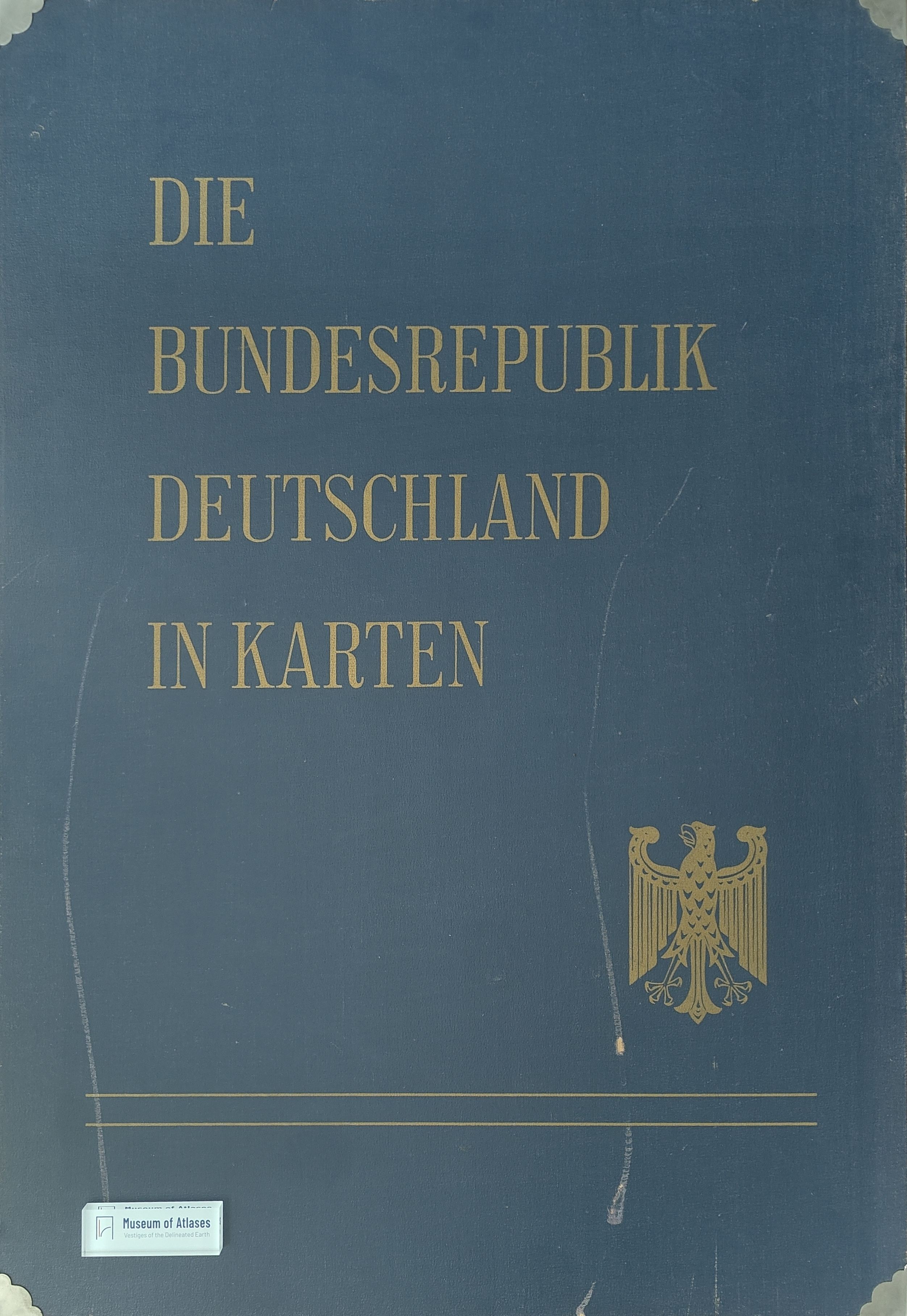
Atlas “The Federal Republic of Germany in maps”
Atlas „Die Bundesrepublik Deutschland in Karten“
- Publication
- Berichte zur deutschen Landeskunde
- Volume
- 34
- Issue
- 2
- Pages
- 337–339
Summary
This article introduces the atlas The Federal Republic of Germany in Maps, developed to present the spatial patterns revealed by the 1960–61 censuses and other official datasets. Jointly edited by the Federal Statistical Office, the Institute for Regional Geography, and the Institute for Spatial Research, the atlas uses distribution maps, dot maps, and choropleths to document regional differences in Germany’s administrative structure, natural environment, population, public services, economy, and spatial organization. Its approximately 180 multicolored maps, primarily based on municipalities and districts, are intended as practical resources for administration and planning. Although the work does not claim to be a national atlas, it provides a comprehensive national inventory and makes specialized cartographic research accessible across disciplines. The article concludes that the atlas constitutes an essential empirical foundation for a future geographical regional atlas emphasizing spatial qualities, functions, and synthetic regional interpretation.
Related Atlases
Comments
Loading...
0/2000